
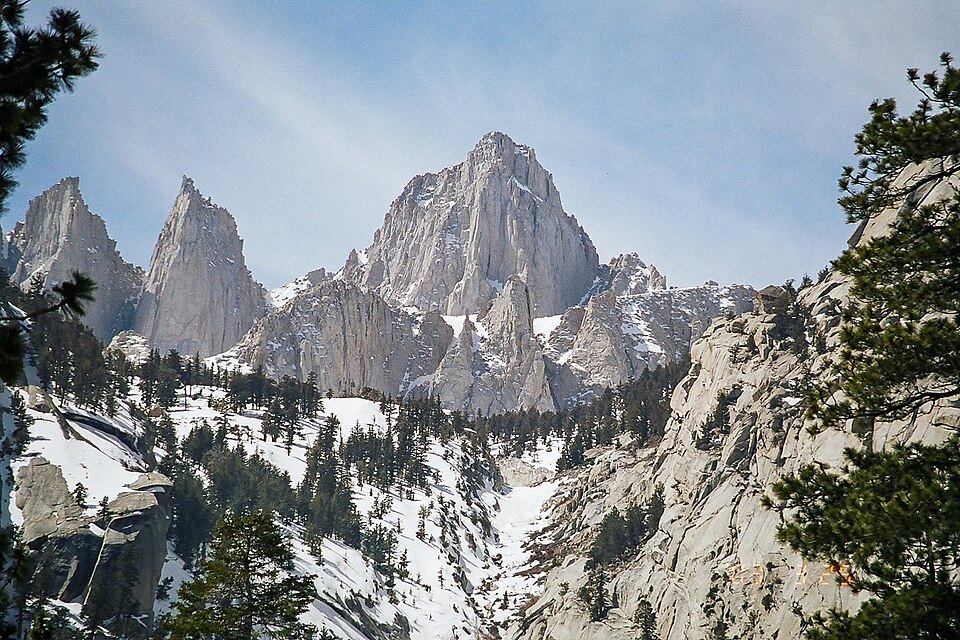
A Peak on Two Boundaries
Mount Whitney occupies a precise administrative and geographical seam. Its western slope falls within Sequoia National Park, while the eastern slopes lie in Inyo National Forest in Inyo County. This east–west split across a single ridgeline means the mountain sits simultaneously within two different land-management regimes, giving it an unusual dual character. The peak is ranked 18th in the world by topographic isolation — a measure of how far it stands from any higher ground — which underscores just how dominant a landform it is within its region.
Southern Terminus of the John Muir Trail
The summit of Mount Whitney serves as the southern terminus of the John Muir Trail, which runs 211.9 miles (341.0 km) northward from Happy Isles in Yosemite Valley. That relationship makes the Whitney summit not merely a high point in the cartographic sense but a destination with a specific narrative role in Sierra Nevada hiking culture: it is both the endpoint and, depending on direction of travel, the starting line for one of the longest continuous wilderness routes in the United States.
The trail's southern anchor at Whitney connects the summit to the broader corridor of the Sierra high country, linking the mountain to Yosemite Valley across more than 340 kilometers of range. For those who travel the full length of the John Muir Trail, the summit represents the culmination of a traverse through the heart of the Sierra Nevada.
Elevation and Regional Context
At 14,505 feet (4,421 m), Whitney's elevation establishes it as the defining high point of the contiguous 48 states — a distinction that sets it apart from every other summit in the lower 48. The mountain lies in east–central California, and its position along the Inyo–Tulare county line means that the summit itself is a jurisdictional boundary as well as a topographic one. The nearby town of Lone Pine, to the east in Inyo County, sits in the Alabama Hills with the Whitney massif rising dramatically behind it, one of the most recognizable mountain profiles in the American West.