
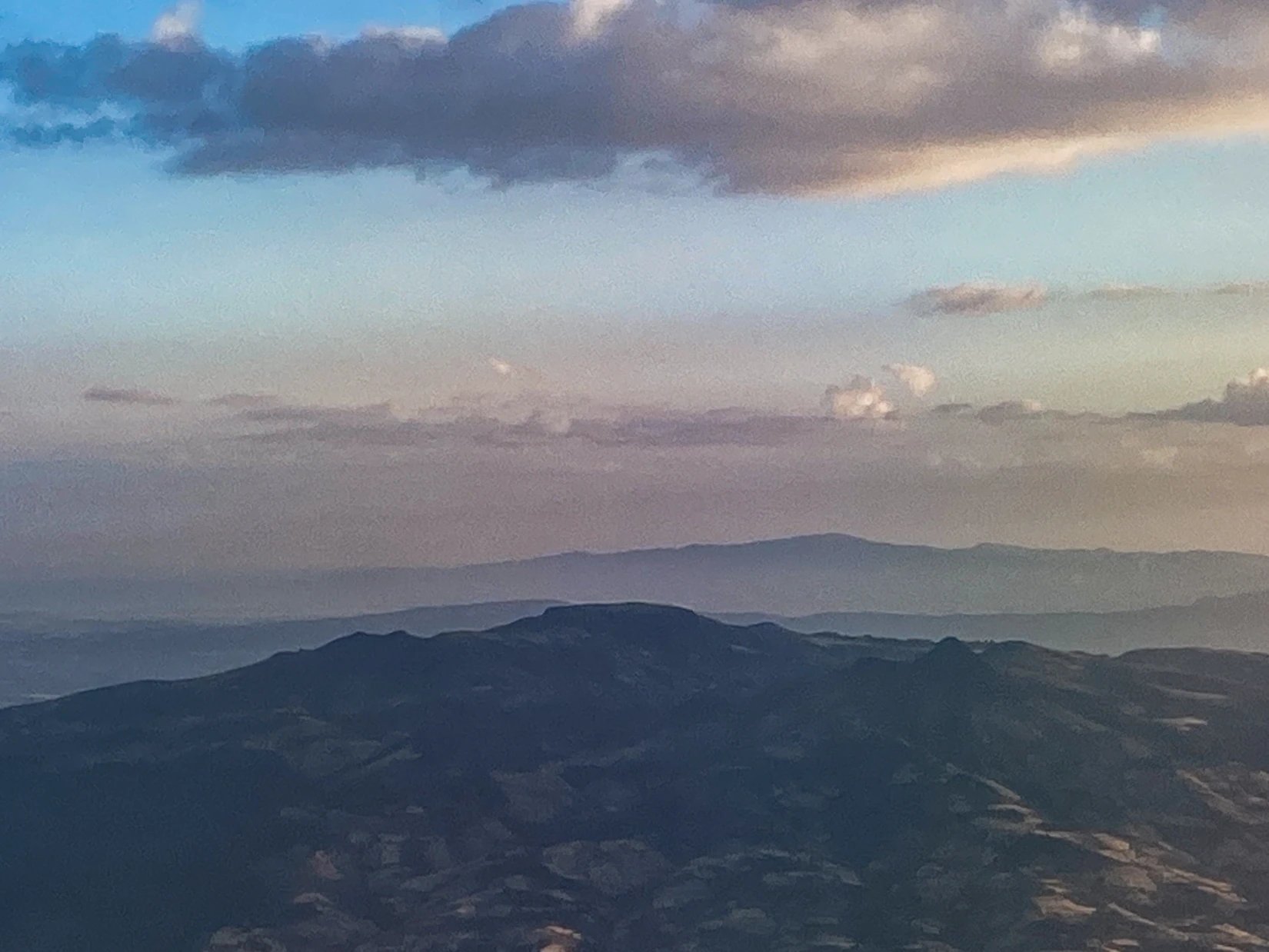
Volcanic Landform
Geoderma (2004) places Wechecha's denuded trachytic dome in the broader volcanic province near the Ethiopian Rift. Trachyte is a volcanic rock. Potassium–argon (K–Ar) measurements cited by Merla and colleagues date certain studied rocks from the mountain at around 4.5 million years, figures that apply to those specific sampled rocks rather than to a single eruption event for the whole massif. The Key Biodiversity Areas factsheet records a terrain band spanning roughly 2,200 m to 3,385 m, where vegetation varies by elevation. An archaeological team later examined a section of the old crater rim on the southeastern flank, confirming that the volcanic structure remains legible at the surface.
Forest and Royal Tradition
Dry evergreen montane forest, documented by both the Ethiopian Biodiversity Institute and botanical researcher Tamrat Bekele, covers part of Wechecha's southwestern slopes and is notable for stands of African juniper (Juniperus procera). This is the Menagesha forest, distinct from a separate Mount Menagesha located to the north. Field historians connect a tradition of royal forest protection to the 15th-century reign of Emperor Zara Ya'eqob, though the precise terms of that protection are recorded through later tradition rather than contemporary documents. A late 19th-century account published in Une expédition avec le négous Ménélik records its narrator hunting in wooded country near Managacha and describes the felling of timber there for Menelik II.
Archaeological Survey on the Crater Rim
In a 2009 article in Annales d'Éthiopie, Hartwig Breternitz and Richard Pankhurst described a walled enclosure located near roughly 3,200 m on the southeastern crater rim, approximately 2 km from Dämoča. Certain sections of the stonework were still standing up to 1.7 m in places at the time of survey. The researchers compared the site's position and construction with descriptions of earlier royal settlements and noted an attribution to Zara Ya'eqob among several competing explanations for the site's origin and function.
Borelli's March 1887 Observations
French explorer Jules Borelli recorded a two-day ascent of the mountain — which he spelled Watchacha — on 12 and 13 March 1887, later published in his Éthiopie méridionale (1890). He camped at a first spur, observed wooded ravines below, and noted that the dominant tree was the gatira, the local name for juniper. Higher up he found open pasture ground at the summit. Despite mist that obscured the sun and complicated his work, Borelli took directional bearings and produced a panorama sketch of the surrounding landscape from the top.