
The Mountain in Photographs
The 1921–22 volume of the Canadian Alpine Journal identifies Mount Watson at the far right of a panorama. Its neighbour is labelled ‘The Marshal’, now The Marshall. The photograph records the name before its official adoption.
In 1965, Milton Goddard photographed BC Parks employee Don Carruthers and his packhorses on the trail from the Simpson River to Lake Magog. The Arrow Lakes Historical Society identifies the three mountains behind them as Mount Assiniboine, The Marshall and Mount Watson.
Sir David Watson
The name became official on 31 March 1924. It commemorates Sir David Watson, a Québec journalist who went on to command the 4th Canadian Division from April 1916 to the end of the First World War.
From Seabed to Mountain Range
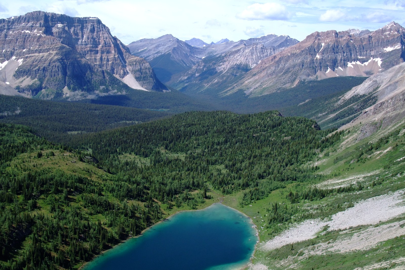
The Geological Survey of Canada mapped rocks in the Assiniboine area that began as sediment on shallow carbonate platforms and in deeper marine basins. Mountain building later folded these layers and pushed them past one another along thrust faults. The survey traces those changes across the southern Canadian Rockies.
Protecting the High Country
After the Alpine Club of Canada pressed for protection, British Columbia established Mount Assiniboine Park on 6 February 1922. The first park centred on Mount Assiniboine and Lake Magog. The 1973 expansion protected more of the surrounding alpine terrain and watersheds. In 1990 the park joined the Canadian Rocky Mountain Parks World Heritage Site.