
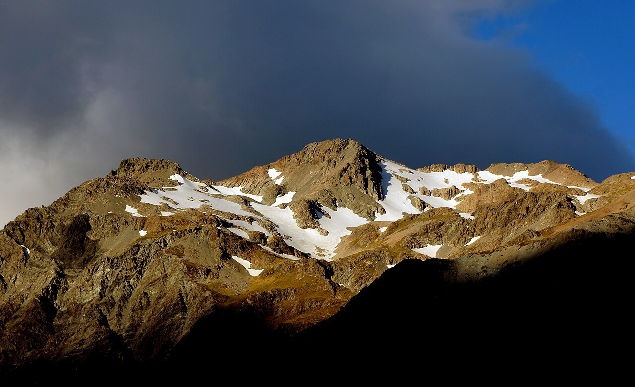
Terrain and Early Guiding History
The mountain's southwest ridge was used as a training climb by guides in the early 1900s, according to ClimbNZ, a detail that places Wakefield within the organized guiding culture that developed around Aoraki/Mount Cook in that period. The use of a specific ridge as a training ground implies it offered a reliable and instructive progression of terrain, though the particulars of that use belong to a guiding tradition rather than to any formal recorded route.
The broader relief of the mountain includes rock gullies rising from the valley floor and broader upper basins, two distinct types of terrain that give the face its varied character. These features are topographic descriptions of the mountain's structure rather than defined climbing lines, and they reflect the range of landform found across a 2,058-metre peak standing immediately above a major glaciated valley.
Named Lines and Their Histories
The archive of climbs on Wakefield includes two named features with documented first-ascent records. Joe Friend and Colin Monteath climbed the Gully of a Thin Man in 1972, a line whose name and date are preserved in a guide archive. A separate feature, known as the Ranger Route, runs on a different buttress and was first recorded by Department of Conservation staff in the summer of 2013, a gap of more than four decades between the two recorded firsts that suggests the mountain continued to yield new lines well into the twenty-first century.
Two Lines from the Hooker Valley
In 1972 Joe Friend and Colin Monteath climbed the line known as the Gully of a Thin Man. In the summer of 2013, Department of Conservation staff climbed a separate line on a buttress near a scree fan, now known as the Ranger Route.