
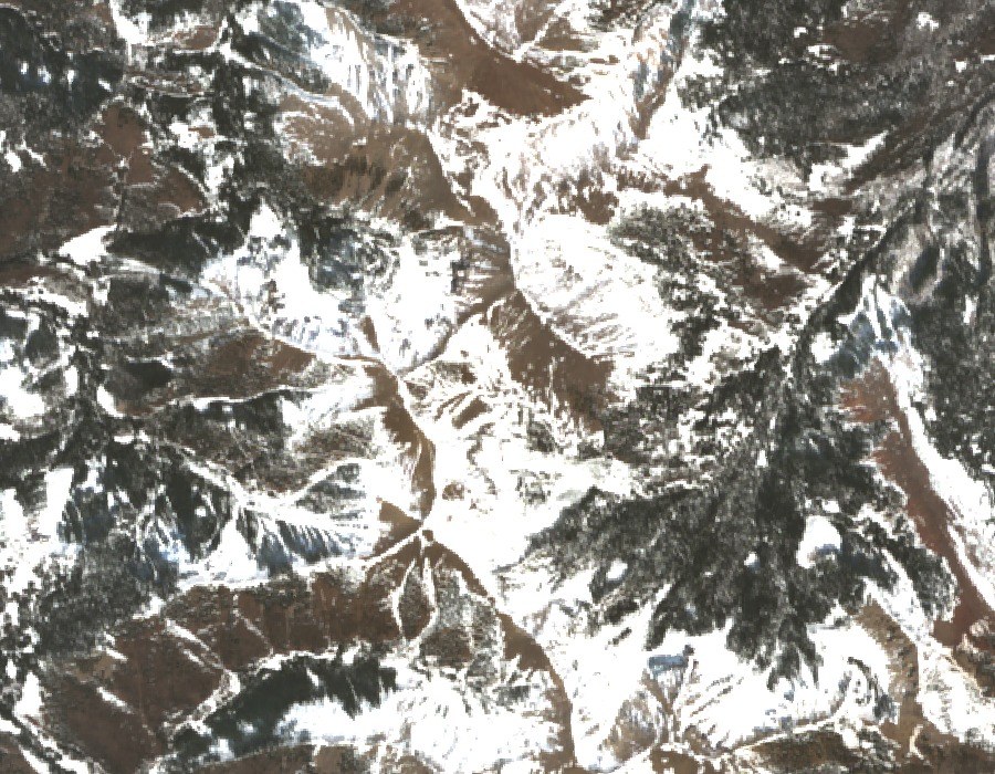
Landform and Geology
Mount Waas belongs to the northern group of intrusive bodies that geological mapping identifies within the La Sal Mountains. The mountain formed when magma intruded into surrounding rock and solidified underground, and subsequent erosion stripped away overlying material to expose these harder igneous cores.
Survey History
Early USGS triangulation reports describe Mount Waas as a sharp peak and record an approximately eleven-foot stone survey marker on the summit, with observations from 1884 attributed to Davis's independent position determination. The U.S. Coast and Geodetic Survey established a formal station in 1893 with a copper bolt. USGS reoccupied that station in 1914, and the U.S. Coast and Geodetic Survey returned in 1931, replacing the copper bolt with a standard disk.
Position in the La Sal Range
Mount Waas sits at the northern end of the La Sal range, geographically and geologically distinct from Mount Peale, the higher summit farther south. The USGS formal triangulation record gives a summit elevation of 12,310.7 feet, equivalent to roughly 3,752 meters by standard conversion, while modern terrain analysis places the high point at approximately 3,760 meters, the two figures reflecting different reference measurements.