
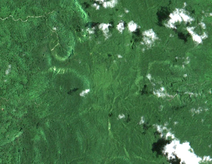
Ridge Topography and Drainage
A central ridge runs the length of Pentecost, with the eastern flank notably wetter and the western coast more temperate. Short streams drain both sides from the ridge. Vulmat sits on this central spine at the island's highest elevation.
Geology and Island Setting
Pentecost lies on the eastern belt of the Vanuatu island arc, a setting characterised by uplift and volcanic and volcaniclastic terrain. Field geology and Ocean Drilling Program work record exposures of ophiolitic rocks in the island's southern reaches, evidence of the arc's tectonic complexity at the island scale. These references describe island-wide geology rather than the specific rock units at the summit itself.
Cultural Context
Naghol, the land-diving practice documented by Vanuatu Tourism, belongs to the southern part of the island. Vulmat is one feature of the island's central ridge; the naghol tradition is part of the wider southern regional context.