
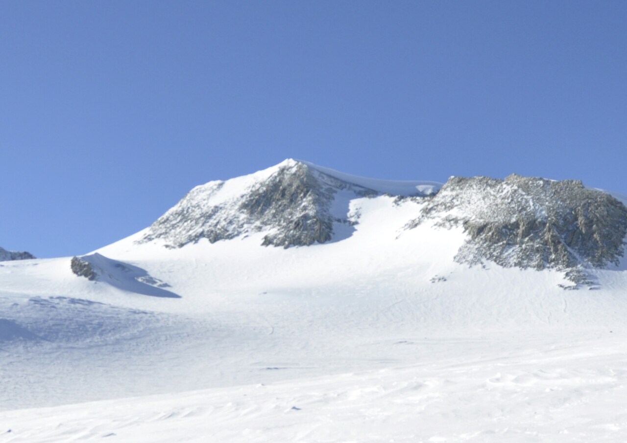
Survey and Coordinates
The Omega Foundation’s team measured the summit by GPS in 2004. The USGS published the result of 4,892 metres, replacing earlier estimates of 5,140 metres and 4,897 metres. Measurements of neighbouring peaks helped clarify where the summit of Mount Vinson sits on the larger massif.
Geology and Rock
Quartz-rich rocks of the Crashsite Group form much of the Sentinel Range. The sediments that became these rocks accumulated from the Cambrian to the Devonian. Later compression during the Gondwanide mountain-building episode thrust the rocks into their present structure. A rock collected near the summit is held at Ohio State University’s Byrd Polar and Climate Research Center.
Cartographic Record and Naming
U.S. Navy reconnaissance flights from Byrd Station first recorded the massif in January 1958. The U.S. Advisory Committee on Antarctic Names named it for Carl G. Vinson, a member of Congress who supported Antarctic exploration. The name Vinson Massif refers to the entire group of peaks and the plateau connecting them.
First Ascent
Pete Schoening, John Evans, Barry Corbet and William Long reached the summit on 18 December 1966, according to expedition member Brian Marts. The remaining climbers arrived in two groups on 19 and 20 December. Expedition leader Nicholas Clinch reached the summit in the last group.