
A road through sandstone
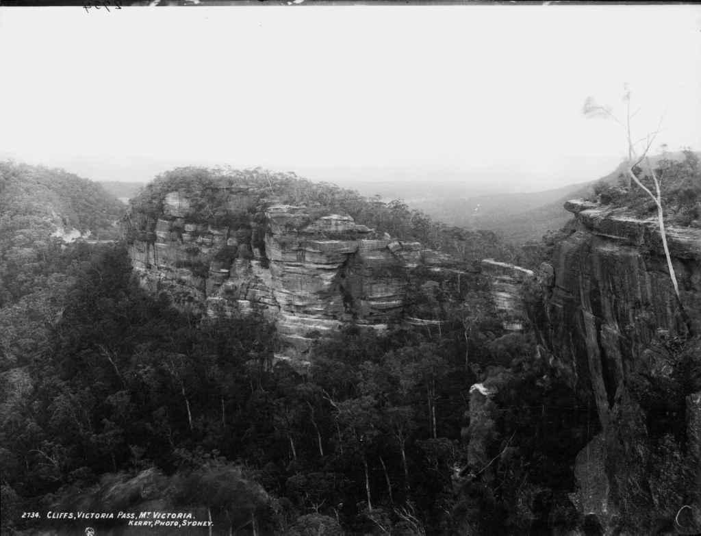
Mitchell directed the construction of Victoria Pass using convict labour. Stone retaining walls and buttresses carried the road over a gap in the ridge. Governor Richard Bourke opened the pass on 23 October 1832. A photograph made around 1900, now held by the Powerhouse Museum, shows the road beneath the tall sandstone cliffs.
From roadside camp to railway terminus
In 1849, a toll bar went up east of the pass at Broughton’s Waterhole, a long-used stopping point for travellers and livestock. The settlement became the western railway terminus in the late 1860s. The railway used the name Mount Victoria, while the post office opened as One Tree Hill in 1866 and adopted Mount Victoria in 1876.
The name on a mountainside
A 1901 guide still referred to the northern slope of Mount Victoria when describing the pass. The name thus connects a particular mountainside with the road, railway and settlement that grew around it.