
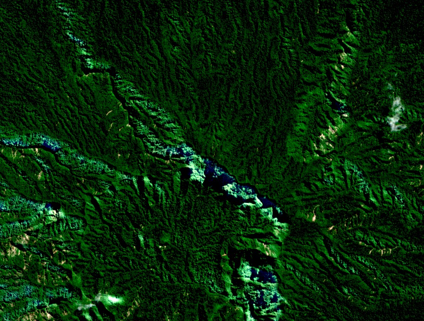
Volcanic Structure
The Smithsonian Global Volcanism Program describes Kolombangara as a composite volcano organized around a central caldera. Mount Veve forms its highest point, rising above the caldera rim and the outer flanks in a layered landscape where elevation and geology shift rapidly from shore to summit.
Ridgelines and Forest Corridors
The Key Biodiversity Areas factsheet for Kolombangara identifies the Veve and Rano ridgelines as distinct features and documents forest corridors connecting upland terrain to the lowlands. These corridors, together with the steep volcanic slopes and persistent cloud cover, define the character of the island's KBA-designated upland forests.
KIBCA and the 400-Metre Dedication
The Kolombangara Island Biodiversity Conservation Association formed in 2008 under customary landowner leadership. Its chronology records that in June 2011 an area above 400 m was formally dedicated for conservation — covering the terrain around Mount Veve — under a framework defined and administered by the landowners themselves, not through external legal designation.