
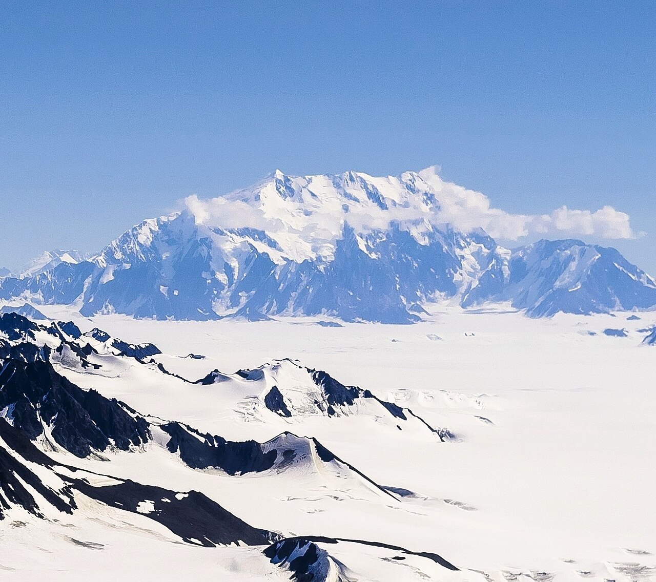
Terrain and the International Frontier
The main summit and Good Neighbor Peak connect along an extensive glaciated ridge typical of the Saint Elias icefields. Good Neighbor Peak, the lower southern summit, gained cartographic significance when a boundary commission referenced it in defining the Alaska–Yukon international frontier, giving it a documented role separate from its mountaineering record.
The 1949 First Ascent of the Main Summit
On 5 July 1949, Noel Odell, William Hainsworth, Robert McCarter, and Alan Bruce-Robertson reached the main summit from the northwest. All four were members of Walter Wood's expedition, though Wood did not join the summit party. Their ascent established the first recorded climb of the high Canadian peak.
Good Neighbor Peak and the 1967 Centennial Expedition
Members of the Yukon Alpine Centennial Expedition made the first recorded ascent of Good Neighbor Peak in 1967. Their published report identifies this southern summit as the point the boundary commission used when delineating the international frontier. The 1949 ascent reached the main summit only; Good Neighbor Peak holds a separate first-ascent record.