
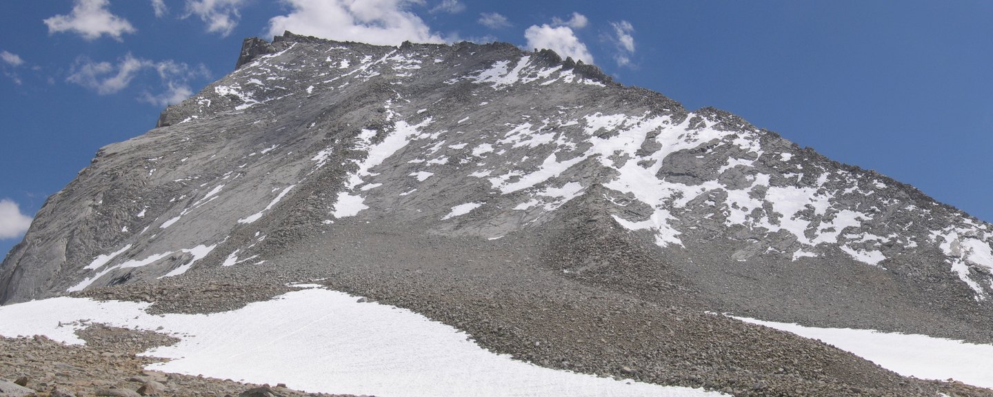
Naming and Geography
The USGS geographic record documents the mountain's location and its namesake. The terrain around the summit, as Clarence King's published account describes it, is a landscape of rocky cliffs and boulders where judging routes across unmapped ground required constant reassessment.
The 1864 Ascent
The California Geological Survey entered the high Sierra in the summer of 1864, its work recorded in William H. Brewer's field journal and in King's published account. King and Richard Cotter made the ascent of Mount Tyndall during that campaign, negotiating the cliff and boulder terrain that King's account describes in detail. The 1864 survey notices record the broader program of measuring peaks and establishing the scale of the range.
A Peak Among Peers
Mount Tyndall is historically distinct from neighboring Mount Williamson and Mount Whitney, each of which the survey addressed separately. The mountain's place within this cluster of southern Sierra summits reflects the work and ambitions of the 1864 survey season.