
Names and Nomenclature
Ladd's field account uses the Fijian name Tuvutau as the primary designation, with Mount Gordon following in parentheses — an arrangement preserved in GeoNames, which draws on NGA provenance data and lists Mount Gordon as an alternate name for the same summit.
Care is warranted not to conflate Tuvutau with nearby features of similar name. The Tikituru peak and the Tuvatu mining district are distinct localities, and Ladd's use of Tikituru Range as a regional label for the broader ridge system should not be read as applying that name to the summit itself. The 933 m figure derives from official survey mapping; a Copernicus GLO-30 surface sample at a point approximately 30 metres away horizontally returns 927 m.
Landscape and Setting
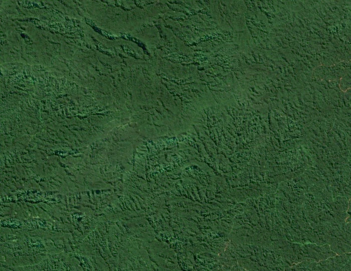
Ladd's historical field account describes the Tikituru Range as a series of sinuous ridges occupying the zone between the Navosa Plateau to the west and the upper Navua basin to the east, and Tuvutau sits within that system. The surrounding ridges visible in satellite imagery reflect the interlocking character of the terrain that Ladd documented during his fieldwork.
Geology: The Mount Gordon Subgroup
The geological character of the broader range was investigated in mapping work documented in proceedings of the Fiji Geological Survey, published in 1967. That work defined a Mount Gordon Subgroup within the regionally significant Wainimala Group, a succession of folded and faulted strata extending across interior Viti Levu. The Mount Gordon Subgroup as described in that nomenclature consists of marine clastic rocks that are predominantly basaltic in composition, with spilite and soda rhyolite also recorded.
This stratigraphic unit represents a snapshot of mid-twentieth-century geological classification for the region. The name Mount Gordon Subgroup carried specific meaning within the mapping framework of that period, linking the summit's name to a broader lithostratigraphic scheme. Whether current geological mapping of Viti Levu retains exactly these unit names and boundaries is a separate question from the historical record; the subgroup designation belongs to the 1966 literature and should be understood in that context rather than as a claim about every rock exposed at the summit today.
Documentary Record
Tuvutau's place in the literature derives primarily from Ladd's Bishop Museum Bulletin 119, a field geology account covering the interior ranges of Viti Levu. Ladd's observations on ridge morphology, local nomenclature, and stratigraphic setting established a geographic and geological framework that subsequent mapping built upon. The 933 m elevation is corroborated across official survey cartography, giving the summit a consistent figure in the available cartographic record.