
Volcanic Structure
The 2005 municipal environmental assessment places Turi on the northern remnant of an eroded shield volcano, distinguishing the summit's basaltic lava flows from the distinct late domes found elsewhere on the island. Harnois and Stevenson's geological study of Huahine similarly identifies basaltic lava flows at the 669-metre summit, situating Turi within the broader volcanic evolution of the Society Islands rather than as a separately formed cone.
Ridge and Water Divide
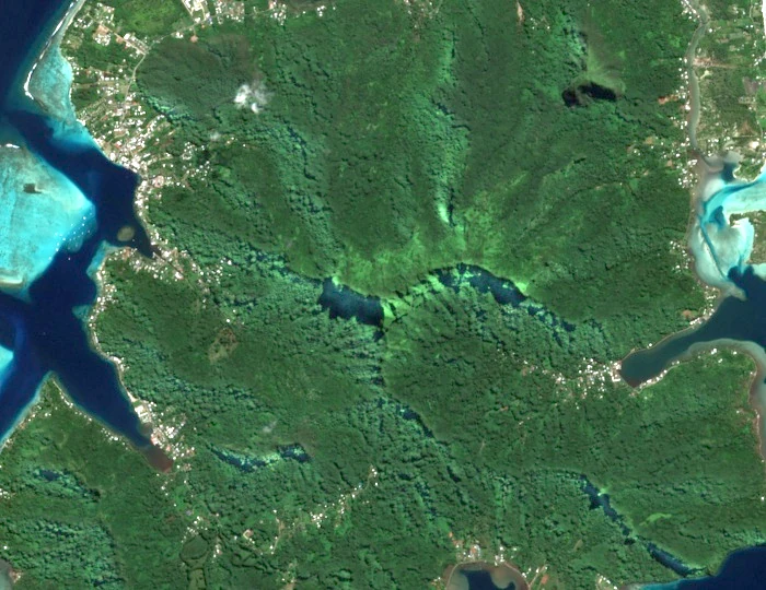
The Turi ridge runs above the bays associated with Huahine Nui, its crest densely forested as shown in a Sentinel-2 image acquired on 6 May 2025. A 1980 French Senate administrative record describes boundaries of sections within the single commune of Huahine: the Maeva–Faie boundary follows the Tereva River and continues along a ridge to Turi, while another Faie boundary is described via a watershed between streams draining toward Faie and Maroe bays.
Summit Location and Mapping
The municipal assessment labels the ridge Moua Turi and assigns an elevation of 669 metres; Tahiti Tourisme uses the same figure. The forested ridge between the bays is visible in the satellite image. The mapped position represents the named ridge area.