
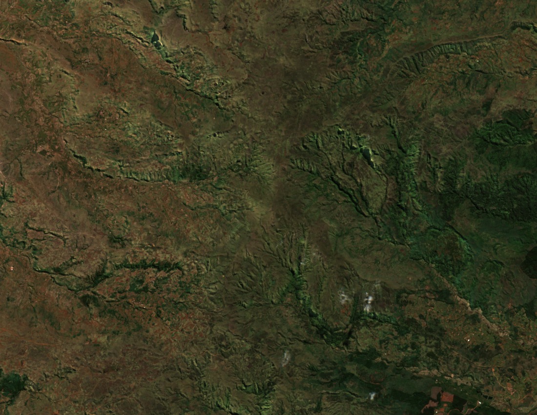
Faulted Volcanic Relief and the 1910 Survey
A French geographical campaign conducted in 1910 and recorded in the Annales de Géographie in 1914 established the structural character of the Ankaratra massif. The survey described rugged faulted relief cutting through the volcanic formation and noted exposures of basement rock at the higher elevations. Université d'Antananarivo topographic records confirm the summit elevation of 2,643 m and the massif's position within the Central Highlands.
Manjakatompo Forestry Station and Eastern Slope Woodland
The Manjakatompo Forestry Station was established in 1922 on the eastern slopes of the massif. Ecotropica field studies document remnant patches of native upland forest extending from approximately 1,600 to 2,100 m along those slopes. The summit landscape above that band presents a distinct open character, separating the wooded slope environment from the exposed upper terrain.
Specimen Collections and Faunal Records, 1947–1996
IUCN records document plant and animal specimen collections carried out by Madagascar's research institute across the surviving Ankaratra woodland between 1947 and 1958. A subsequent study published in 1996 tracked fauna on the plateau, extending the documented baseline for the massif. No inferences about current species abundance are drawn from these historical records.