
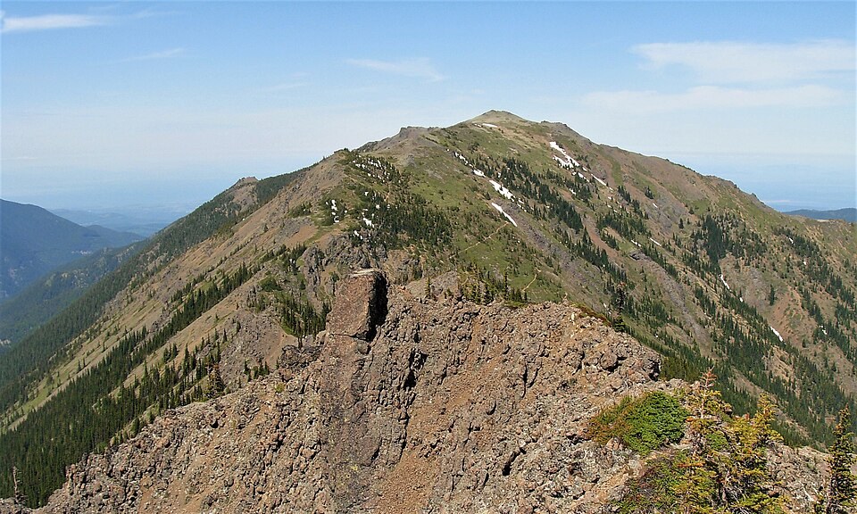
Buckhorn Wilderness
The U.S. Forest Service wilderness boundary and the 1990 USGS Mount Townsend quadrangle both place the mountain within the Buckhorn Wilderness, designated by Congress in 1984. The topographic map shows the mountain's ridges descending into separate drainages on either side, illustrating how the terrain distributes water across the northeastern Olympics.
Forest and Alpine Flora
Field surveys by the Washington Native Plant Society record Pacific rhododendron in the mountain's forested lower zones and Olympic kittentails among the alpine plants found higher on the open crest. These two examples illustrate the transition from closed forest habitat to the exposed ridge environment near the summit, a gradient the plant society's list documents in greater detail.
Summit Topography
The main summit reaches approximately 1,915 meters by USGS survey, with a lidar-derived figure also recorded by Peakbagger. The distinct north top sits lower than the principal high point and reads as a separate feature on both topographic maps and lidar data, a detail that distinguishes Mount Townsend in Washington from the unrelated Mount Townsend in Australia.