
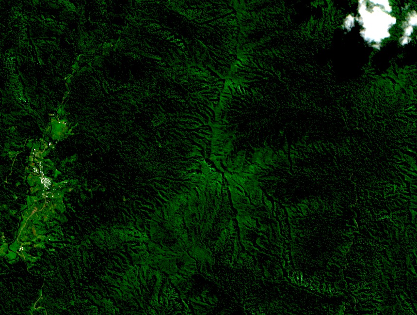
Vegetation Zones and the Greater Tomaniivi Landscape
The Greater Tomaniivi Key Biodiversity Area spans a gradient from upland forest, which characterises the band between roughly 700 and 850 metres, to cloud forest from approximately 850 metres to the summit. These two zones are ecologically distinct, and the KBA extends well beyond the mountain's ridgelines into Viti Levu's interior.
The Nature Reserve Established in 1958
Fiji's forest genetic resources reporting records the establishment of a nature reserve at Tomaniivi in 1958. The reserve applies specifically to the mountain and its forested slopes, distinct from the broader KBA landscape — the two represent separately designated layers of protection around the same site.
Type Locality of Cyrtandra victoriae
Smithsonian research on the genus Cyrtandra identifies Mount Tomanivi as the type locality of Cyrtandra victoriae, a flowering plant in the family Gesneriaceae. A type locality is the site from which the specimen used to formally name a species was first collected, anchoring the mountain to Fiji's record of endemic flora.