
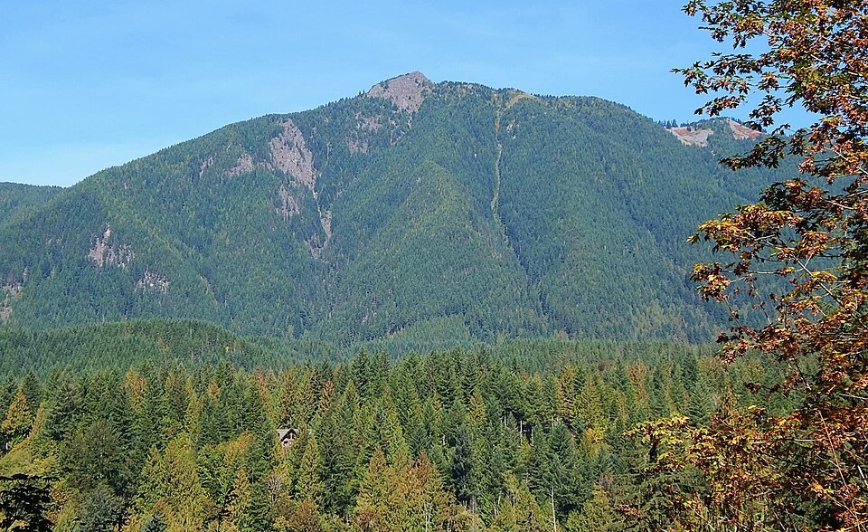
Name and Place
According to the Tacoma Public Library's place-name archive, the Washington peak takes its name from a Canary Island. The same archive records historical mining activity in the surrounding area, though those operations are distinct from the summit itself. Mount Teneriffe, lower Teneriffe Falls, and neighboring Mount Si are each separate geographic features, despite their proximity in the Snoqualmie Valley.
Conservation Lands
The Mount Si Natural Resources Conservation Area was established in 1987 and encompasses four named peaks, with Mount Teneriffe among the high-elevation habitats it protects. Washington State records document subsequent additions to those conservation lands, expanding protection across the broader landscape over the decades that followed.
Former Industrial Footprint
State and nonprofit records, including documentation from the Mountains to Sound Greenway Trust, note that some former logging roads within the conservation area have been incorporated into later land management planning. That transition from extraction to protection reflects a pattern documented across multiple parcels in the Mount Si area, where earlier industrial use preceded formal conservation acquisition.