
A line drawn through a summit
In 1968 the New Zealand Gazette used the summit’s trig station M to describe a boundary. Five years later the New Zealand Geographic Board published the name Tekoa Range. Its official description identified three trig stations along the range and linked its northern end to the Organ Range.
The upper Pahau River
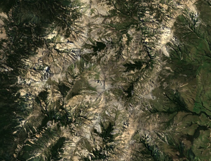
Steep, deeply cut slopes descend from the eastern side of the range into the upper Pahau catchment. The Department of Conservation records small stands of mountain beech in the gullies. Across the more open ground it describes tussock grassland and subalpine plant communities.
The range from north to south
The naming notice traces the ridgeline south from near Shale Peak. Beyond Mount Tekoa, it identifies Te Kooti and Charing Cross as separate survey points. Placing these names along a single ridge helps distinguish Mount Tekoa from other peaks in northern Canterbury.