
Summit and Range Position
Te Aroha rises to approximately 950 m at the northern end of the Kaimai Range, forming the range's highest point. The Department of Conservation identifies it as the highest point in Kaimai Mamaku Conservation Park. The town of Te Aroha lies separately at the foot of the mountain's western slope.
The 1880 Goldfield
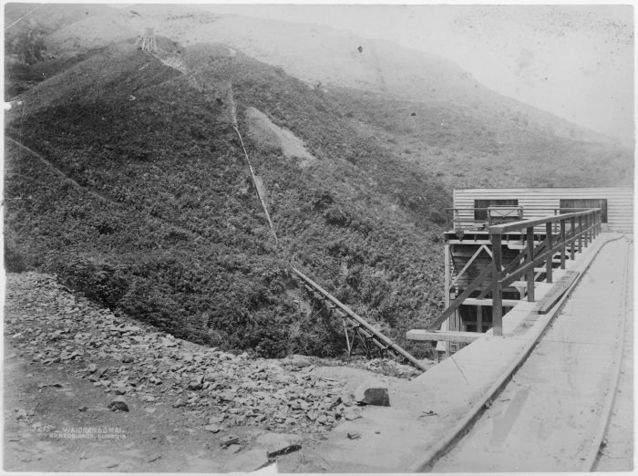
Council records document the discovery of gold-bearing quartz at Whakapipi / Bald Spur in 1880, a spur feature distinct from the summit. The Te Aroha goldfield opened officially that November. Mining activity concentrated on the spur rather than the peak itself.
Te Aroha Domain and the Mokena Geyser
Hot springs and bathhouses developed in Te Aroha Domain at the foot of the mountain, drawing visitors independently of the summit or goldfield. The domain contains the Mokena Geyser, a named thermal vent. These geothermal features are associated with the broader volcanic geology of the North Island.