
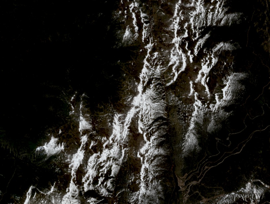
Identity and Cartographic Record
The 1981 Kosciuszko region map by the Royal Botanic Gardens Sydney separates Mount Tate from its east ridge, recording both as distinct features within the upper Snowy River catchment toward Guthega. That cartographic distinction matters for reading historical accounts of movement along the main range, where ridge spurs and summit points carry separate names.
Topography of the Upper Snowy River Country
The main range near Mount Tate descends gradually toward the Snowy River valley and Guthega. The 1981 botanic map situates the summit in this transition zone, with the east ridge extending into the upper catchment. Guthega and the Snowy Mountains Hydro-electric Scheme's infrastructure lie downstream, well below the summit elevation.
Park Context
Mount Tate falls within Kosciuszko National Park, governed by a Plan of Management administered by the New South Wales Government. That plan records the Snowy Mountains Hydro-electric Scheme's coexistence with the park's natural values, a relationship that shapes the wider valley landscape without altering the character of the summit terrain.