
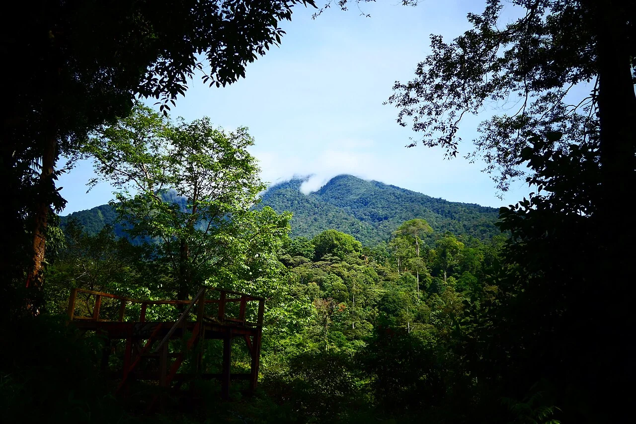
Nested Crater Architecture and Summit Lake
Tandikat's main crater spans approximately 1.2 kilometres and shows pronounced erosion along its original rim. Within this outer depression sits a nested inner cone whose summit crater measures roughly 360 metres in diameter and contains a small lake. The Smithsonian's volcanic morphology entry records this partially eroded outer caldera enclosing a younger constructional cone as a defining structural trait of the edifice.
Recorded Eruptive Episodes and Field Observation
Indonesian sources record eruptive episodes at Tandikat in 1889 and 1914, with an additional episode in 1924 noted in Smithsonian reporting, each assigned specifically to Tandikat. A 1999 field team documented observations of the volcano from the settlement of Ganting, providing a ground-level reference point during a period of relative quiet.
January 2002 Seismic Sequence
On 20 January 2002, a felt earthquake in the Tanah Datar region was followed by recorded increases in volcanic seismicity at Tandikat, documented in the Smithsonian Bulletin of the Global Volcanism Network. The Bulletin presents the felt seismic event and the subsequent rise in volcanic seismicity as sequential observations, distinct from one another and distinct from any eruptive episode.