
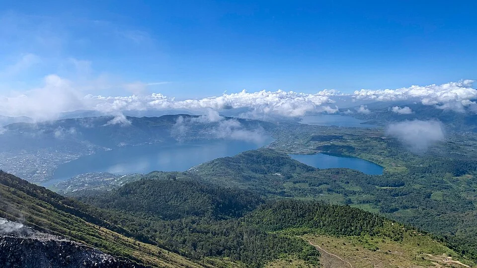
Twin Cones and Flank Craters
The Indonesian Geological Agency identifies two distinct summit structures on Talang: Talang Janan and Talang Betina. The Global Volcanism Program documents activity repeatedly centred on craters along the northeast flank. Lake features in the vicinity reflect several distributed eruptive centres across the edifice rather than a single summit crater.
Eruption Record from 1833
Talang's documented record opens in 1833 and is dominated by phreatic explosions driven by groundwater interaction with shallow heat sources. The West Sumatra Provincial Government's eruption chronology records a phreatic episode on 11 April 2005, one of many recurring events interspersed across longer quiet intervals throughout the historical record.
Geological Heritage at Danau Talang
The Indonesian Geological Agency's heritage documentation for the Danau Talang area records stratigraphic deposits from both pre-Talang phases and later eruptive activity, preserving evidence of multiple eruptive centres and shifting vent locations across the broader edifice over geological timescales.