
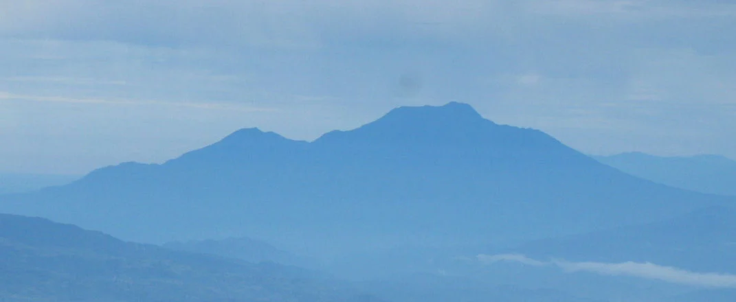
Names and Synonyms
Talamau, Talakmau, and Ophir are documented designations for a single volcanic summit standing apart from the lower Pasaman cone to its southwest. The Smithsonian Global Volcanism Program's formal catalogue lists Talakmau alongside Talamau; Ophir appears in colonial and early modern cartographic records oriented toward the Sumatran coast.
Summit Craters and Lake Basins
The GVP describes three summit craters, with a lava dome occupying the highest northeastern crater and a secondary Pasaman cone at lower elevation to the southwest. At approximately 2,880 metres, the Indonesian geoheritage inventory records a cluster of thirteen lake basins scattered across the high ground, constituting a designated site of geological heritage interest.
Eruption Record
The GVP database notes a possible 1937 episode, carried as an uncertain entry without definitive supporting evidence; the Indonesian Geological Agency's geoheritage system classifies Talamau as inactive. The preserved lava dome, multi-crater configuration, and thirteen high-altitude lake basins documented in the geoheritage inventory form a directly observable record of the mountain's constructional history.