
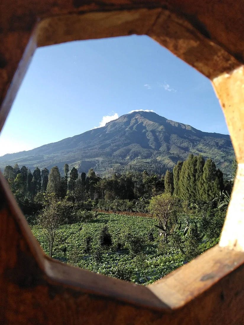
Summit Dome and Crater Geometry
The crater opens toward the northeast, and a lava dome has pushed outward past the original crater rim. Large pyroclastic flow deposits on the northeastern flank predate dome formation, recording an earlier explosive phase that reshaped the upper edifice before the dome began extruding. Flank cones occur on the northern and southeastern sides of the volcano.
Reported Activity and the Smithsonian Record
The Smithsonian Global Volcanism Program documents reports of activity at around 1730 but treats that date as uncertain. The Program classifies Sumbing as a stratovolcano and groups it within the broader volcanic inventory alongside Sundoro, reflecting geographic proximity and a shared position within the Java arc tectonic setting.
Windusari Slopes and Geomorphology
Below the summit, the Windusari district presents slope conditions and landform distinctions documented in Geomedia mapping research. That work records variation in slope angle, soil character, and surface cover across the mountain's lower flanks, with landslide risk distributed unevenly across terrain shaped by pyroclastic deposition, weathering, and lava flow consolidation.