
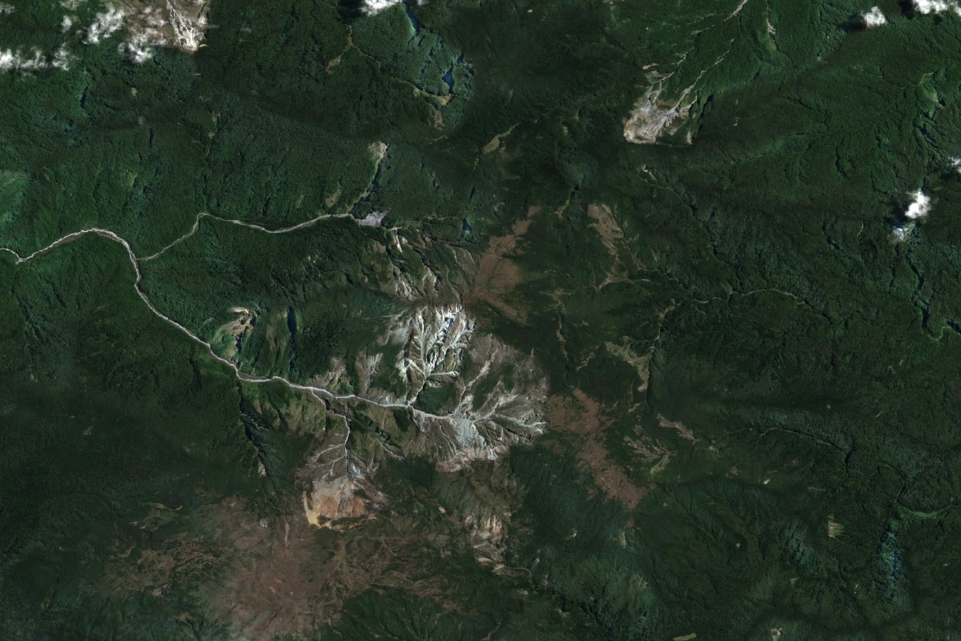
An Isolated Alpine District
The Global Mountain Biodiversity Assessment records Mount Suckling at 3,676 metres, and Papua New Guinea's Sixth National Biodiversity Report designates the summit and its environs as a distinct alpine district, geographically set apart from the main body of the central ranges lying to the northwest.
Altitudinal Habitat Bands
PNG biodiversity mapping delineates discrete altitudinal bands as a framework for distinguishing high-elevation habitats separated from one another by lower intervening terrain. Under this scheme, the upper zones of a summit such as Suckling sustain ecological communities with little continuity to comparable elevational zones elsewhere on the island.
Early Fieldwork in the Goropu Mountains
A Bishop Museum account records that a late nineteenth-century collecting party attempted Mount Suckling. In 1953 the fourth Archbold Expedition surveyed the north slope of Mount Dayman nearby. The latter field records document Dayman; they do not document a survey of Suckling’s summit.