
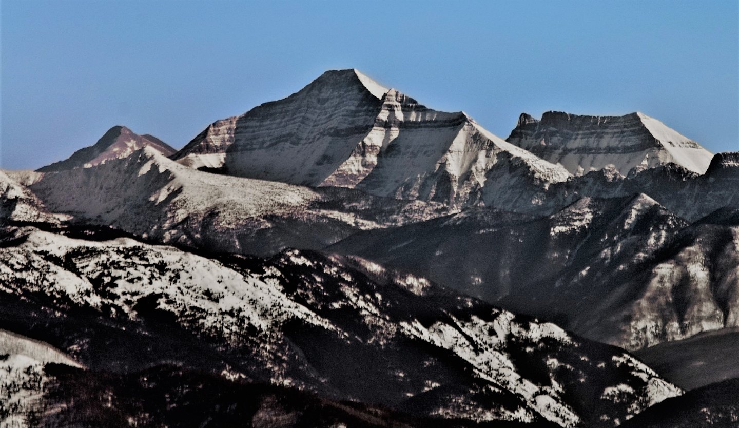
A Name Applied and Relocated
George Bird Grinnell's archive records that in 1891 he applied the name Stimson to what is now called Mount Logan, intending to honor Henry L. Stimson, a member of his party. The same archive documents that the label subsequently moved on government maps to the mountain previously known as Mount James. The name as it appears on current USGS mapping reflects that later recorded placement rather than Grinnell's original application.
Pumpelly's Claimed Ascent
The National Park Service history of Glacier records that Raphael Pumpelly claimed to have climbed the mountain during his second survey expedition in 1883. That expedition crossed Cut Bank Pass and recorded glacier observations elsewhere in the region. The NPS account presents Pumpelly's claim as a possible rather than an established first ascent, and the available record does not confirm it independently.
Glaciation Study
A USGS study of glaciation at Mount Stimson documents ice features associated with the peak. The mountain sits in the southern reaches of the park above Nyack and Stimson Creeks, within the Lewis Range's southern extent.