
Name and Setting
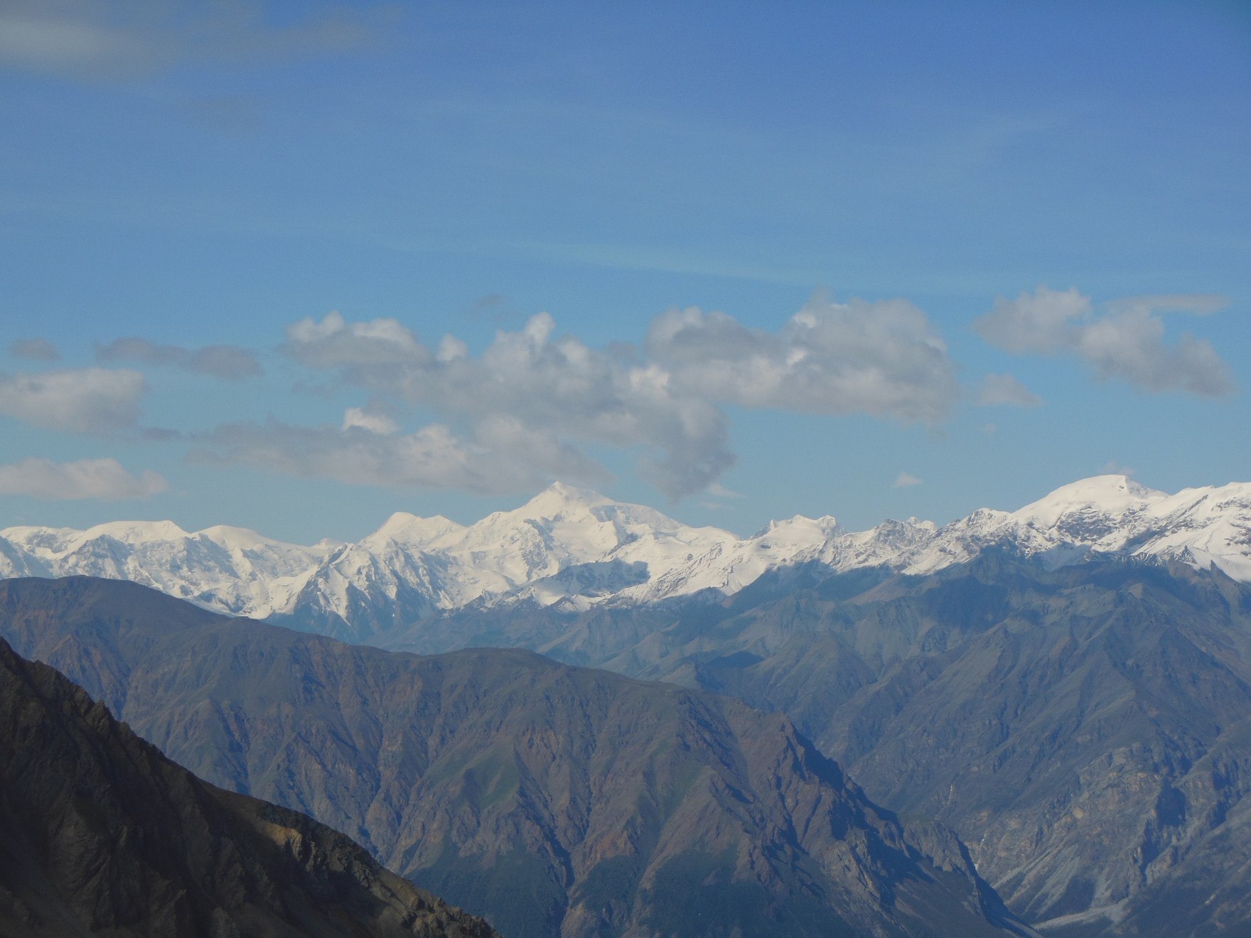
The mountain takes its name from Sam Steele, a North-West Mounted Police officer prominent in the Yukon during the Klondike era. It stands in the Saint Elias Mountains near Mount Lucania, within a cluster of major glaciated summits. The International Boundary Commission recorded a height of around 5,070 m during the boundary demarcation survey.
Mapping and First Ascent
The 1935 Wood Yukon Expedition, led by Walter Wood, tested aerial photography as a basis for topographic survey mapping of glaciated terrain in this part of the range — a cartographic program distinct from the expedition's climbing activities. During the same season, Wood and his party completed the first documented ascent of the mountain.
The 1967 Centennial Expedition
The Yukon Alpine Centennial Expedition in 1967 established a general camp near Steele Glacier and conducted a wide-ranging climbing program in the surrounding terrain. Published accounts document multiple new routes and additional summits reached by expedition members, representing a concentrated period of activity that expanded the documented route history of the area.