
The bulge that moved downhill
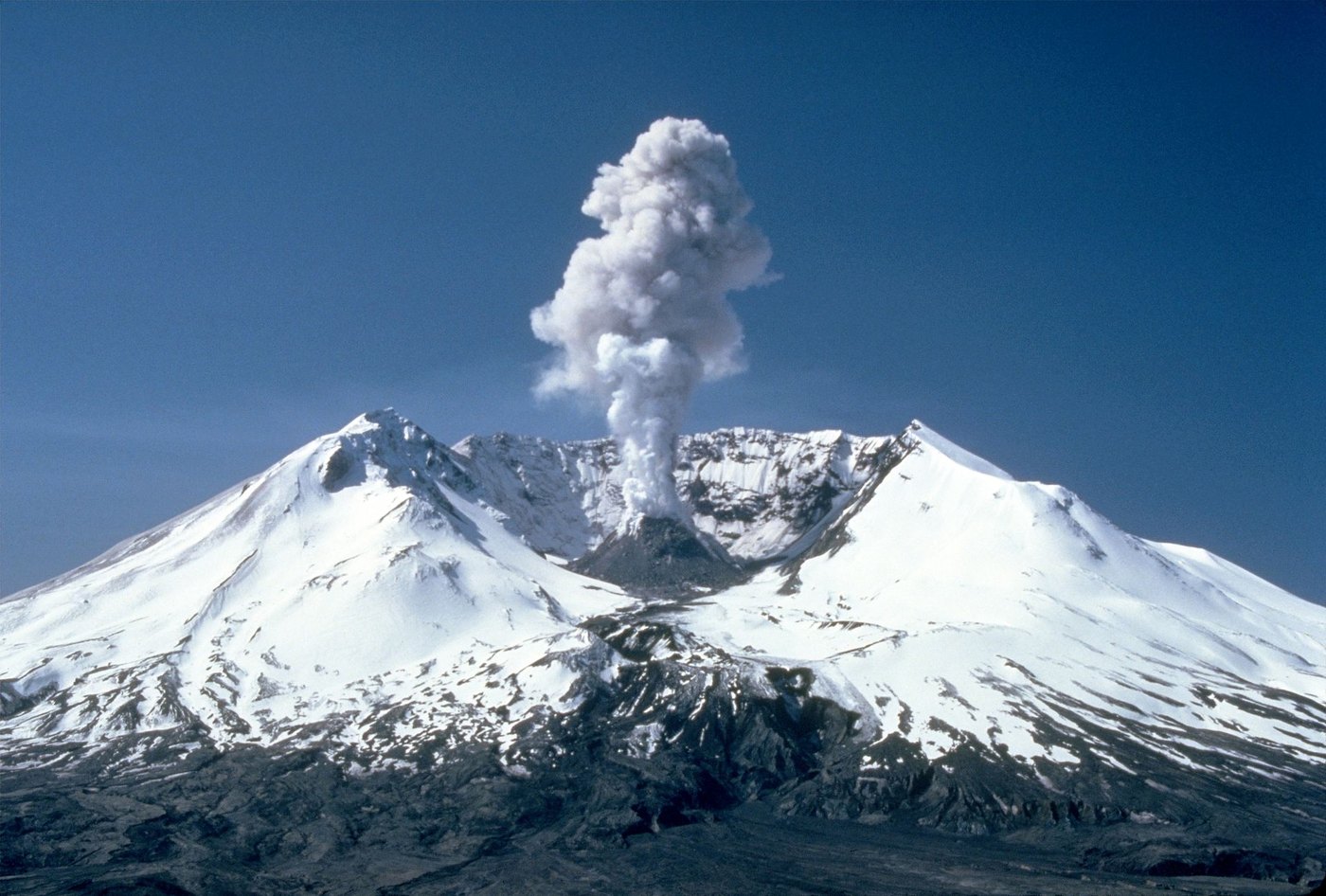
In the spring of 1980, magma rising inside Mount St. Helens pushed the northern slope outward. On 18 May an earthquake shook the volcano, and much of that slope slid into the valley. The collapse released pressure in the magma and sent hot gas and debris across the landscape in a lateral blast. A column of ash then rose high above the mountain.
The sequence explains why the opening in the crater faces north. The landslide removed the flank in that direction, and the explosion followed the opening. Forests and waterways below the volcano record separate parts of the event, including the blast and the muddy flows that carried sediment downriver.
From a cone to a crater rim
Before the eruption, the summit stood about 2,950 m (9,677 ft) above sea level. The USGS lists the mountain today at 2,539 m (8,330 ft), based on a 2009 lidar survey. A survey in 1982 put the high point slightly higher. The USGS attributes that later difference to erosion and collapsing rock along the rim.
Mount St. Helens had changed its shape long before 1980. Lava domes, flows, and deposits from older eruptions helped build the cone, and past landslides also left deposits around it. The familiar pre-eruption silhouette was one stage in that longer history.
Rock and ice inside the opening
In the years after the blast, viscous lava rose inside the crater and built domes. Meanwhile, snow and debris accumulated beneath the steep, shaded walls and fed a glacier on the crater floor. Renewed dome growth from 2004 to 2008 pushed into the ice. The rock and ice were moving in the same small basin, and each affected the other.
Read the landscape at three scales: the surviving rim, the deposits downstream, and the changing floor of the crater. Together they show why monitoring a volcano involves surveying the ground as well as recording earthquakes.