
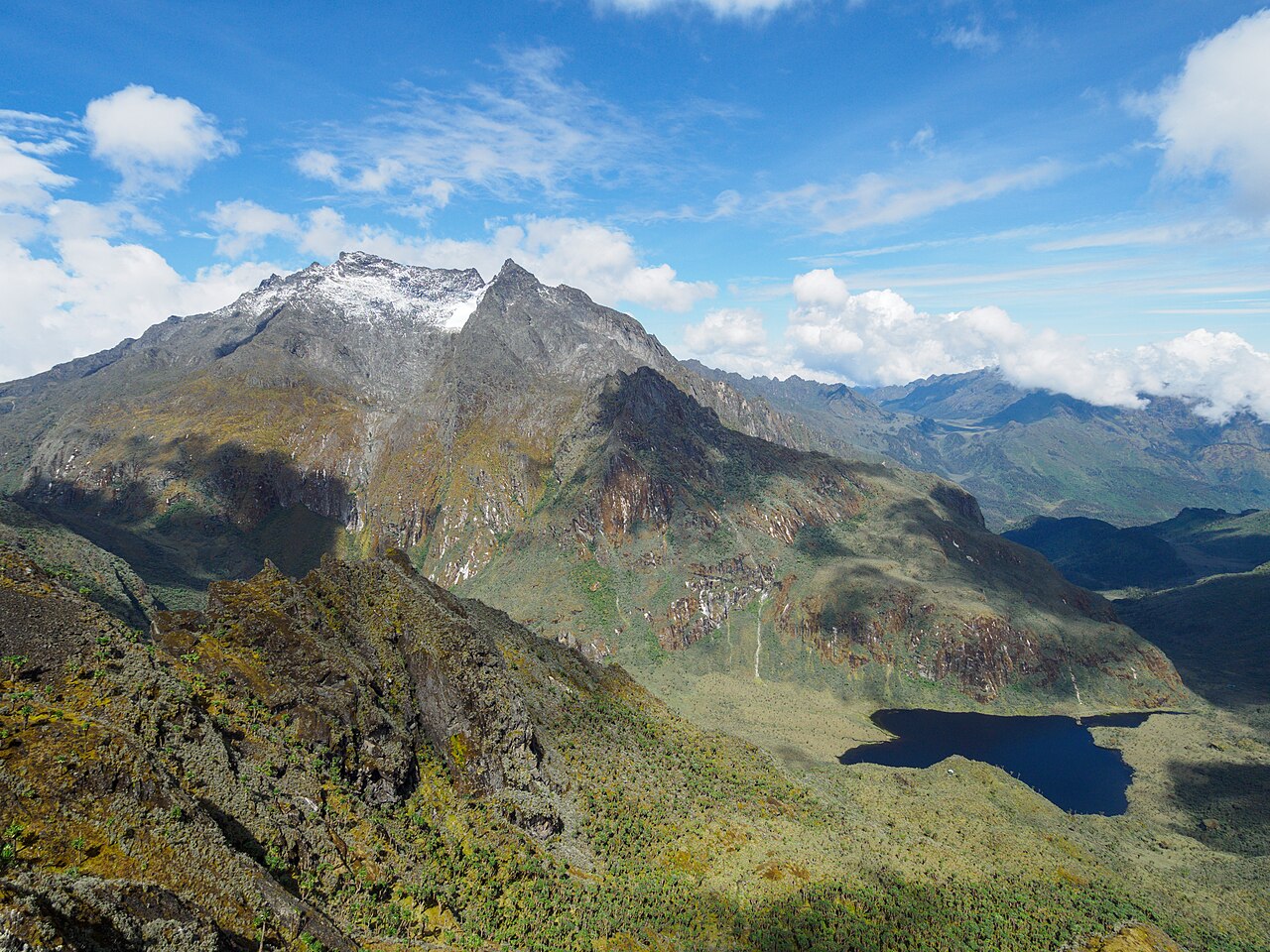
The Speke Glacier and Its Measured Retreat
A Journal of Glaciology study on Speke Glacier established a precise record of tropical ice retreat for East Africa. Field teams working in the late 1950s set cairns and markers at the glacier terminus. Subsequent researchers returned in January 1990 and compared that terminus position to the earlier field records. Between 1958 and 1977, the terminus retreated 35 to 45 metres. Between 1977 and 1990, the retreat exceeded 150 metres. These figures describe the horizontal distance of terminus withdrawal, not changes in ice thickness or surface area.
By the time of the 1990 field visit, a small lake had formed behind a rock ridge near the glacier terminus — a feature that did not exist when the original cairns were placed. The study's methodology relied on fixed reference markers, photographic comparison, and sequential field measurement.
Early Expeditions and the Documentary Baseline
The 1906 expedition led by the Duke of Abruzzi produced some of the earliest systematic visual and cartographic records of the Rwenzori range, including photographs by Vittorio Sella that the glaciological literature cites as a baseline for comparing twentieth-century ice extent. The Journal of Glaciology study references both the Sella photographs and an early topographic map of the range as foundations for understanding how the mountains appeared before sustained measurement began. These documents function as a regional documentary baseline rather than a fixed account of any single peak's climbing history.
The Rwenzori Setting
UNESCO includes Rwenzori Mountains National Park on the World Heritage List, citing the range's equatorial alpine vegetation and its role as a catchment system for rivers draining toward the Albertine Rift. The conjunction of equatorial position and high elevation produces a vertical zonation with plant communities adapted to freeze-thaw cycles occurring within a few degrees of the equator.