
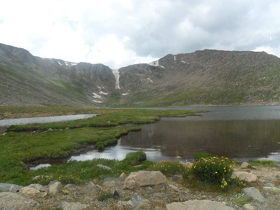
Glacial Cirque and Alpine Tarn
Summit Lake occupies an east-facing cirque at approximately 3,912 m, bounded in part by Spalding's eastern face. Colorado Department of Transportation field studies document the lake as an alpine tarn surrounded by wetlands subject to seasonal thaw and underlain by permafrost. Researchers have investigated the transition between the lake margin and surrounding vegetated wetland as a record of freeze-thaw dynamics at high elevation.
Summit Lake Park and Natural Landmark
Denver acquired Summit Lake Park in 1924, as documented in the National Register nomination for the historic road corridor. Summit Lake was separately designated a National Natural Landmark in 1965 in recognition of its alpine tundra ecosystem, a designation that applies to the lake basin and tundra at the mountain's base rather than to the summit itself.
The Bierstadt Oil Study
Albert Bierstadt made an oil study titled Mountain Lake in 1863, now held by the Denver Art Museum. Researcher J. R. Henneman, in a 2022 paper, identifies the depicted peak as Mount Spalding viewed across Lower Chicago Lake, a body of water lying further down the Chicago Lakes basin and separate from Summit Lake at the cirque floor. Henneman's identification connects the study to that specific vantage point rather than to the large canvas Bierstadt later produced, whose title names Mount Rosalie.