
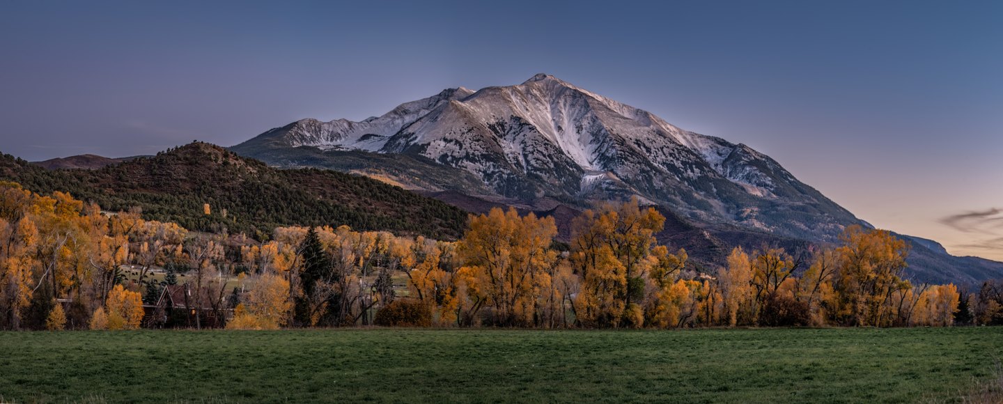
Geology of the Intrusion
The Colorado Geological Survey's geologic map of the Mount Sopris quadrangle identifies the mountain's core as an intrusive igneous body, rock that crystallized beneath the surface rather than erupting from it. Erosion has since exposed that buried mass. The survey map distinguishes this intrusive body from adjacent geological units, though precise age figures and formal shape classifications are not documented in the supplied record.
Twin Summits and Survey Record
The Colorado Geological Survey quadrangle maps two adjacent high points on the massif, referred to as the East and West summits. Both features appear on the cartographic record, though the record does not document the two as carrying equal surveyed elevations. The map places both labeled summits within the broader Elk Mountains terrain.
Naming and Exploration
The mountain takes its name from Richard Sopris, whose exploratory party of fourteen men traveled through this part of the Elk Mountains in 1860. The GNIS name history records this connection, though available documentation does not confirm that Sopris or his party reached the summit. The mountain's name and the quadrangle map each serve as a record of the same Elk Mountains landscape.