
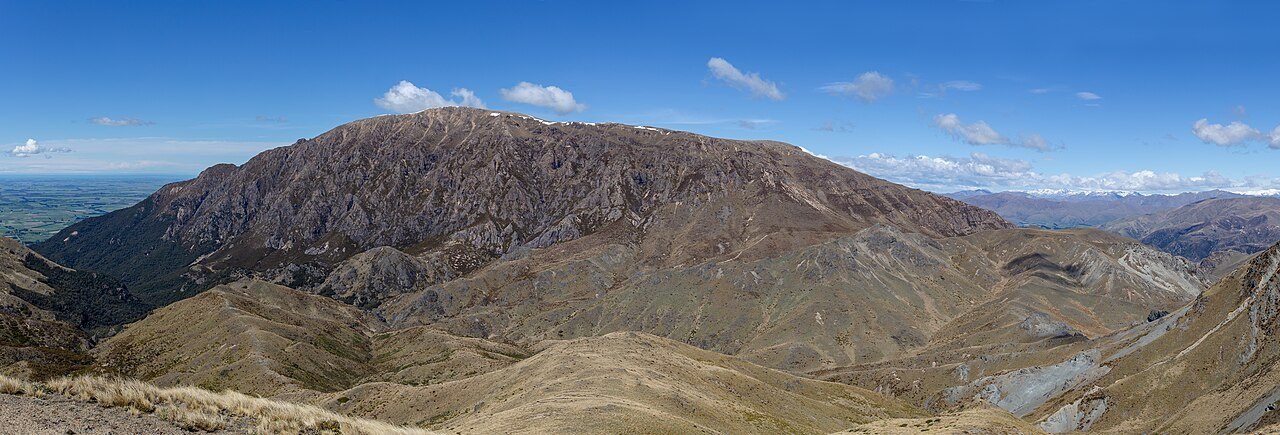
A Summit Above the Plain
At 1,688 metres, Te Kiekie sits atop an upland plateau that the Department of Conservation describes as overlooking the Canterbury coastal plain. Wind-scoured tussock and exposed ridgeline define the summit, a texture and exposure distinct from the valley approaches rising from the east and west.
Bowyers Stream and the Beech Valley
Bowyers Stream runs below the plateau through tawhairauriki — mountain beech — whose canopy covers the lower reaches. The transition from sheltered valley floor to open summit country is one of the mountain's most marked geographical qualities, the forest giving way abruptly to tussock grassland as elevation rises.
The Woolshed Creek Side: Mine Tailings and Surviving Silver Beech
On the Woolshed Creek side, the tailings of the Blackburn Mine persist on the lower landscape. The Department of Conservation also records a small pocket of silver beech nearby — a remnant that survived fires in the Ashburton Gorge and now stands as an isolated fragment of forest on this otherwise open slope.