
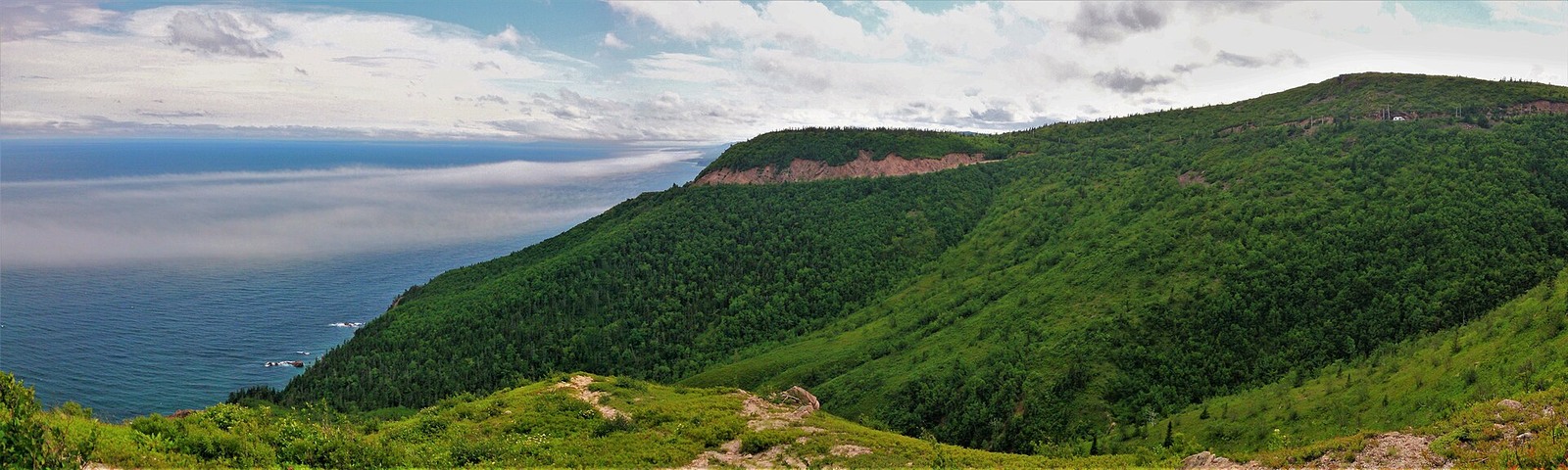
Geology and Coastal Form
Nova Scotia geoscience mapping identifies Cape Smokey Granite as the dominant unit in this area, with the formation partly comprising granitic gneiss. The rocky headland and its plateau define the coastline, and the cliff faces reach approximately 275 metres above the sea.
The Cabot Trail on Smokey Mountain
The Cabot Trail, completed in 1932 as part of a road network linking Cape Breton communities, climbs Smokey Mountain's flank before descending to the shore. Smokey Mountain lies outside the boundary of Cape Breton Highlands National Park.
Cape Smokey Provincial Park
The provincial government designated Cape Smokey Provincial Park in 1983, with additional lands incorporated in 2015. The park sits under provincial jurisdiction, occupying the coastal plateau and cliff terrain above the Atlantic.