
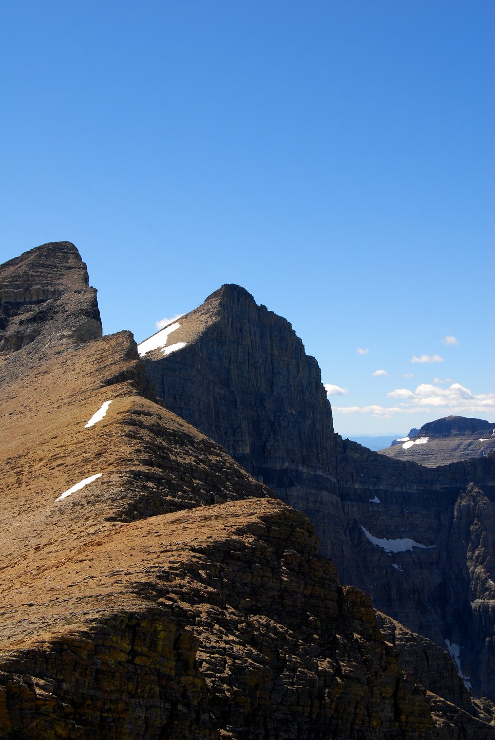
The Purcell Sill
The Purcell Sill is a dark horizontal sheet of igneous rock formed when magma moved between existing limestone strata approximately 750 million years ago, according to National Park Service geological accounts. The intrusion hardened in place, leaving a band across the pale surrounding rock. At the margins where the magma contacted the original limestone, heat transformed it into marble, producing lighter-toned borders on the mountain's face.
A Name in the Rock Record
The term Siyeh Limestone in geological literature names specific sedimentary rock layers documented in this region. The U.S. Board on Geographic Names records Mount Siyeh as the official designation for the peak itself.
Siyeh Bend and the Road Below
Below the summit, Siyeh Bend marks a point along the Going-to-the-Sun Road where the National Park Service has documented a transition from subalpine vegetation to east-side forest. Construction of the road at this location required a substantial fill and a masonry-faced culvert to route Siyeh Creek beneath the roadway, carried out in the valley.