
Landform and Setting
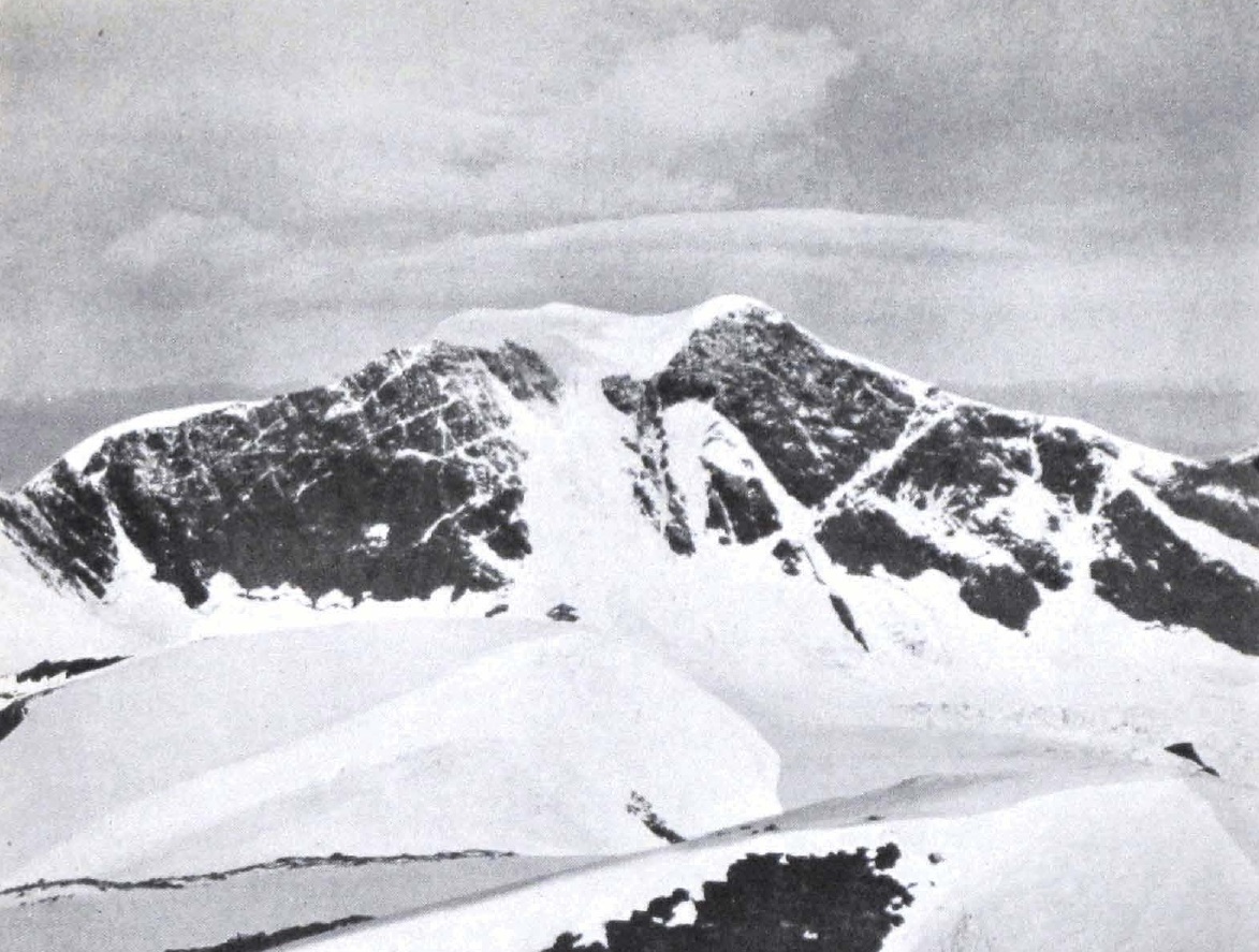
A provincial terrain study documents Proterozoic and early Cambrian sedimentary and metamorphosed sedimentary rocks across the region, alongside an intensely glaciated landscape of high ridges and cirque-carved valleys. The 1924 expedition described the upper summit as a broad ice plateau. A GPS measurement taken in 2004 recorded 3,516 metres, as reported in the British Columbia Mountaineering Club guide published in 2023.
First Documented Ascent
Allen Carpé, Rollin Thomas Chamberlin, and A. L. Withers reached the summit on 5 July 1924. The party camped on Bivouac Peak on 4 July, melting snow for soup that evening, then set out at 3 a.m. the following morning. Snow had sloughed across the original line, so the climbers crossed glacial snow below the north face and climbed toward the western ridge, reaching the broad upper ice plateau by 7 a.m. Carpé's barometer registered above 12,000 feet at the summit. After descent, comparison with readings at known elevations revised the estimate to approximately 11,750 feet. His account appeared in the Alpine Journal in 1925 (pages 63–85), and the expedition called the peak Mount Titan.
Naming
The official name Mount Sir Wilfrid Laurier was adopted on 6 September 1927 by provincial order in council, honouring Wilfrid Laurier, who served as Prime Minister of Canada from 1896 to 1911. The BC Geographical Names Office record documents the adoption and the expedition's prior name for the peak.
Regional Weather Monitoring
The Cariboo Alpine Mesonet has gathered weather observations across the Cariboo Mountains since 2006. Four stations were installed near Likely, B.C. in summer 2006. By 2018, researchers at the University of Northern British Columbia documented 11 active stations recording temperature, rainfall, and snow depth at 15-minute intervals. Sensors are distributed across the valley and higher slopes at elevations from 683 to 2,105 metres, capturing montane and subalpine conditions throughout the region. The network produces a systematic climate record for a mountain range where high-altitude instrumental data supports both glaciological research and resource management.