
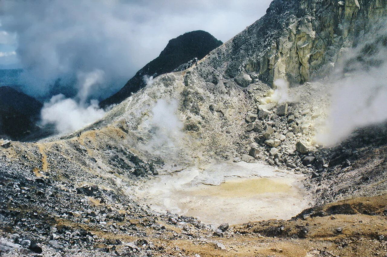
Singkut Caldera and Summit Structure
Sibayak developed within the Singkut caldera, building through successive eruptive phases into a stratovolcano topped by a lava dome. The summit crater spans roughly 900 m and displays hydrothermal alteration: rock surfaces chemically transformed by acidic fluids and gases rising through the edifice. This compound landform—younger dome inside ancient caldera rim—gives the Karo Highlands site its layered geological character.
Hoekstra's 1881 Ash Observation
The Smithsonian Global Volcanism Program attributes a reported ash emission in 1881 to observer Hoekstra, the earliest cited activity in Sibayak's modern record. The account stands as an attributed observation. The interval between Hoekstra's report and systematic later investigation reflects how infrequently the volcano drew formal documentation across the intervening decades.
Geothermal Field Investigations from 1989
Geothermal surveys began in 1989, leading to ten drilled wells in an early study phase. Daud, Sudarman, and Ushijima documented findings in 2001, examining fault-controlled permeability, acidic reservoir waters, and mineral scaling within the subsurface system beneath Berastagi. Their work describes conditions at depth that share a heat source with the crater's surface hydrothermal features but occupy a structurally distinct fault-governed flow regime.