
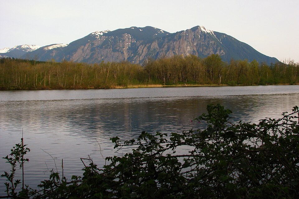
Bedrock and Conservation
The Washington Geological Survey identifies volcanic breccia among the bedrock types that make up Mount Si, alongside other sedimentary and volcanic rocks. The mountain and its surrounding forest, outcrops, and streams fall within a conservation area first established by Washington State in 1987 to protect the site's geological and ecological values.
Sacred Place
The Snoqualmie Indian Tribe's public signage identifies the mountain by its Lushootseed name qʷalbc and connects it to the Tribe's creation narrative. That designation reflects a living cultural relationship between the Tribe and this landscape that predates the mountain's other recorded names.
Summit and Neighboring Peaks
The Haystack is the principal high point of the massif, with a lidar-derived elevation of around 1,280 meters. Little Si, a lower and distinct summit, lies separately from the main peak and should not be confused with the Haystack or the broader Mount Si landform.