
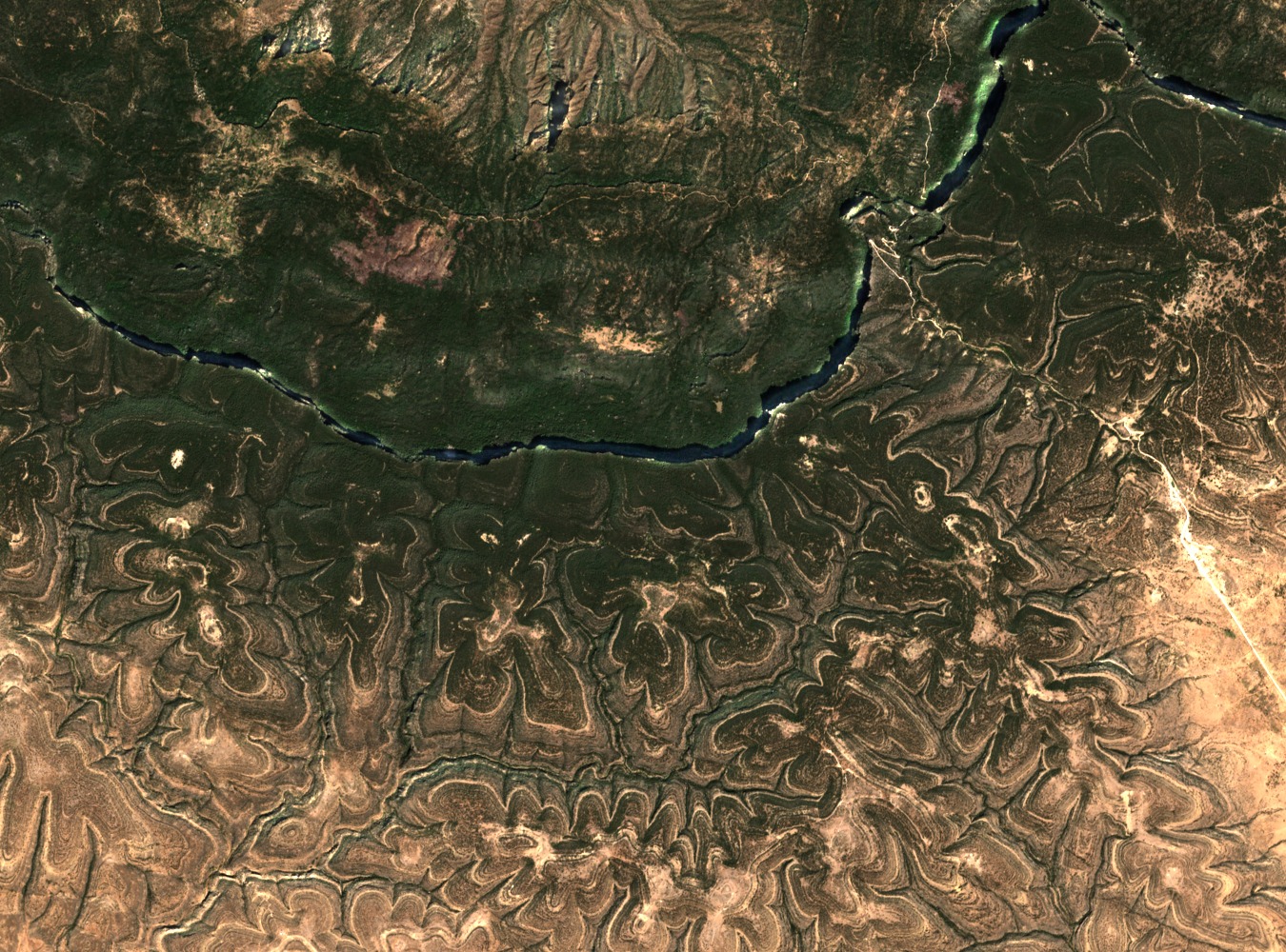
Fault Scarp and Ridge Topography
NASA's June 2015 Landsat observation of the Cal Madow identifies the west-east fault scarp immediately north of Shimbiris as a defining element of the range's landform. The escarpment marks an abrupt transition in elevation on a rift margin where the Arabian and Somali tectonic plates are moving apart, distinguishing the Cal Madow ridge from the semi-arid plains below.
1995 Uppsala Botanical Survey of the Cal Madow
The Somali Agriculture Technical Group credits a 1995 botanical survey conducted under Uppsala University as a foundational study of Cal Madow vegetation. The survey documented woodland communities on the range's slopes, where elevated moisture supports plant assemblages adapted to the range's maritime montane conditions, providing a baseline record that subsequent conservation assessments have drawn upon.
Boswellia carteri and the Ceerigaabo Frankincense Trade
A CITES report on frankincense occurrence records Boswellia carteri within Cal Madow terrain. Ceerigaabo, the principal town of the Sanaag region and the nearest urban centre to Shimbiris, functions as the documented collection and sorting hub for frankincense harvested across the range, linking the Cal Madow's resin-producing woodlands to wider regional and international trade networks.