
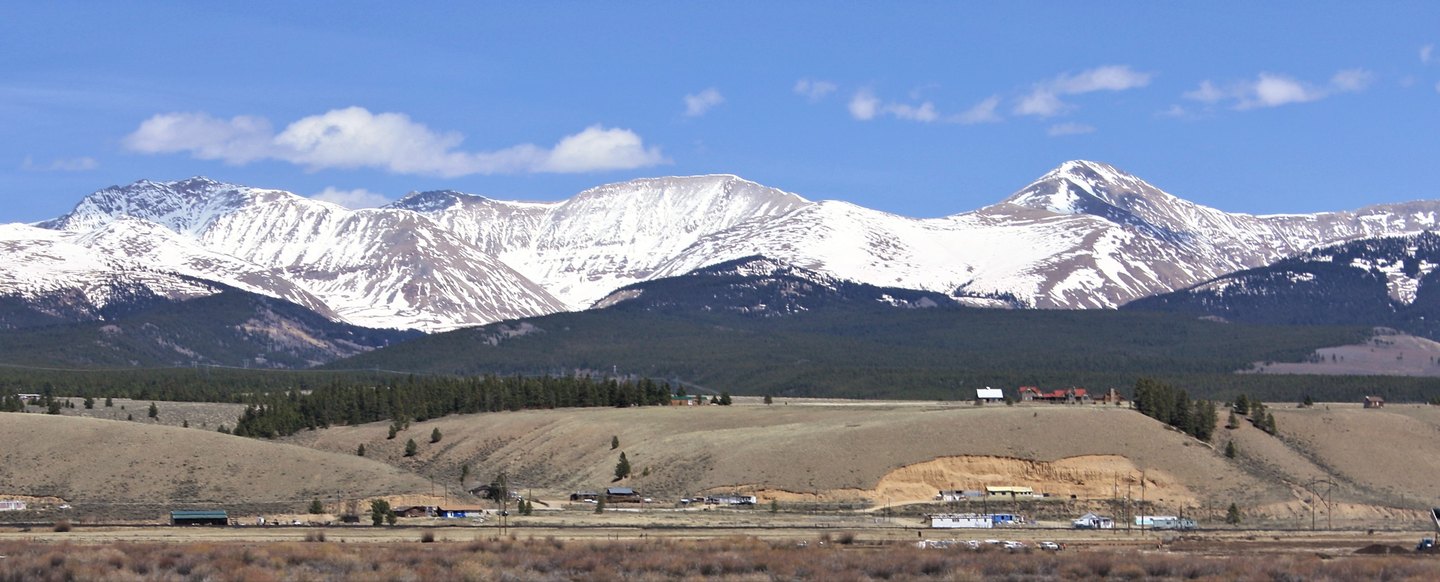
The Sherman Mine and Iowa Gulch
The documented local history centers on the Sherman Mine, whose portal was studied near the Iowa Amphitheater at the east end of Iowa Gulch. The USGS measured a section of Leadville Dolostone there and examined fossils within those strata. That carbonate formation takes its name from the city of Leadville and is not coextensive with the summit.
Carbonate Layers and Mineralized Ground
Regional USGS surveys have traced mineralized bodies near the summit to underlying geologic structures and to carbonate sequences exposed around the upper gulches. The carbonate layers documented at the Sherman Mine portal connect to a mapped stratigraphic column that extends across this section of the Mosquito Range.
The Mosquito Range Divide
The Mosquito Range runs as a divide in central Colorado, and Mount Sherman's position across the Park and Lake county line is recorded in the USGS quadrangle along with the topographic detail of the surrounding gulches and amphitheaters.