
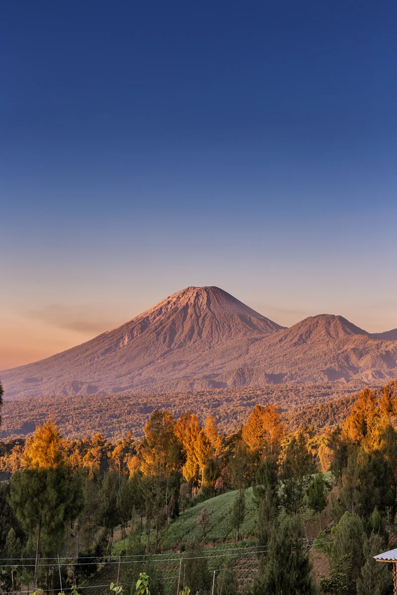
Anatomy of a Massif
Semeru and the Tengger caldera to its north form a continuous volcanic complex, but they are geologically and visually distinct features. Where the Tengger highlands open into a wide caldera floor — one that contains, among other features, the celebrated crater of Bromo — Semeru pushes upward in a steep cone that terminates in an active summit zone. The Smithsonian Global Volcanism Program documents that the summit vents have migrated over time, shifting from a northwestern to a southeastern orientation, and that older adjacent calderas border the present edifice. This internal rearrangement of eruptive energy has left the mountain's flanks layered with the products of successive events, a stratigraphy written in lava and ash.
Both Semeru and Bromo lie within Bromo Tengger Semeru National Park. Bromo is a cone within the Tengger Sandsea caldera; Semeru is the high volcano at the southern end of the massif.
The Event of 4 December 2021
On 4 December 2021, Indonesia's Center for Volcanology and Geological Hazard Mitigation (PVMBG) recorded collapses involving the summit lava dome and the southeastern lava flow. The collapses generated pyroclastic density currents — fast-moving avalanches of hot gas, ash, and fragmented rock — that descended the southeast flank via the Kobokan drainage. Heavy rain was occurring at the time, and the resulting lahars — flows of volcanic debris mobilized by water — carried material well downstream of where the initial pyroclastic currents had traveled.
NASA's Earth Observatory analysis of the event noted a distinctive ash cloud above the collapse zone whose behavior suggested what scientists describe as an elutriation or Phoenix cloud: a secondary ash column lofted upward by heat from the pyroclastic currents themselves, rather than a primary eruption column rising directly from a vent. The inference matters because it distinguishes between a volcanic system pushing new material to the surface and one redistributing material already on the edifice. The two processes carry different implications for understanding the progression of an event and its hazard signature, though the NASA reporting frames this reading as an interpretation rather than a confirmed classification.
Reading the Flank from Space
The 4 December event was mapped using synthetic aperture radar data from NASA's Sentinel-1A and Sentinel-1B satellites. Radar imaging penetrates cloud cover that would obscure optical photography, and the comparison of data from the two satellites produced contrasting radar return values along a corridor southeast of the summit. Those contrasts indicated that the drainage network in that zone had been disrupted by the passage of volcanic material, confirming the southeastern path of the event.
The capacity to trace an event's footprint through radar return differences illustrates how volcanological understanding of Semeru has increasingly relied on remote sensing alongside ground-based monitoring. The Japan International Cooperation Agency has also engaged with Semeru's hazard profile in the context of disaster planning for the region, reflecting how a mountain this active functions not only as a geological subject but as a persistent planning variable for the communities that occupy the valleys and channels extending from its flanks.
The Name and the Number
The Smithsonian Global Volcanism Program records two names for the summit: Gunung Semeru and Mahameru, meaning Great Mountain. Both names refer to the same peak.
This article uses the elevation of 3,657 m recorded in the Smithsonian Global Volcanism Program profile. Some other references cite 3,676 m.