
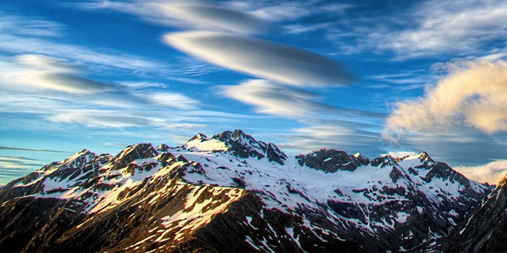
A Surveyor's Name on the Range
Julius von Haast named the peak for Edward Percy Sealy, surveyor and photographer, whose first documented visit to the district came in April 1867. That season Sealy reached the Mueller and Hooker glaciers and returned on subsequent alpine work, producing photographic albums that the Christchurch Art Gallery Te Puna o Waiwhetū holds today. Those images recorded glacier extents and landforms at a moment when the range's mid-nineteenth-century condition was otherwise uncharted.
The name commemorates the elder Sealy. The New Zealand Geographic Board dossier identifies the separately named Sealey Glacier in the Olivine Range as honouring his grandson, E. H. Sealy.
First Ascent, 24 January 1895
Edward Arthur FitzGerald published the primary account of the first documented ascent in the Alpine Journal of 1895. The party — FitzGerald, Swiss guide Matthias Zurbriggen, C. L. Barrow, and local climber Jack Clarke (whose surname appears as Clark in some early records) — left at 5 a.m., climbed via Ollivier and the east arête over loose rock, reached the summit at 3 p.m., and returned to the Hermitage around 10 p.m.
A 1915 New Zealand parliamentary return recorded Samuel Turner on 24 February as the first solo unguided ascent. The same document lists a 27 February climb by Miss Theomin, Miss D. Chambers, Mrs. P. Graham, and P. Graham, guided by P. Graham.
North-West Ridge and Changing Conditions
The New Zealand Alpine Club noted in 2018 that the north-west ridge had experienced significant loss of permanent snow and ice, reflecting broader glacial change across the park. The east arête route traversed by the 1895 party crosses ground that FitzGerald described in his report as very loose rock.
Mueller Glacier and the Moraine Below
Research on the Mueller Memorial Moraine, the prominent landform below the range, initially interpreted its multiple ridges as evidence of several distinct ice advances. Subsequent geomorphological work reassessed those deposits as a single complex formation. The glacier carried landslide debris down the valley and deposited it as the moraine, so the ridged topography reflects debris dynamics rather than a sequence of independent glacial episodes.