
Position and Place Names
The Saruwaged Range occupies the Huon Peninsula, divided from the main New Guinea cordillera by the Markham and Ramu valleys. Mount Sarawaget appears in sources as Sarawaget, Saruwaged, and Salawaket, reflecting different transcriptions across colonial surveys, postwar maps, and scientific literature; no single spelling has achieved universal adoption.
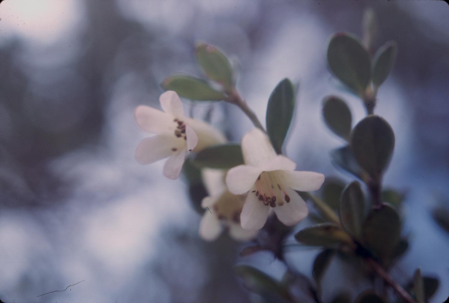
Carlquist's 1963 Rhododendron Photograph
In February 1963, botanist Sherwin Carlquist photographed a rhododendron at Mount Sarawaget. The image is archived at the Botanical Research Institute of Texas. The documentation confirms high-elevation botanical work was carried out at the mountain but does not record whether Carlquist reached the summit.
Herbarium Specimen 1376
Carlquist's collection from that expedition is catalogued as specimen 1376 under the name Mount Salawaket in the All Asia TCN herbarium network. The collection locality is recorded at 3,200 metres, an altitude that describes the specimen site rather than a summit elevation.