
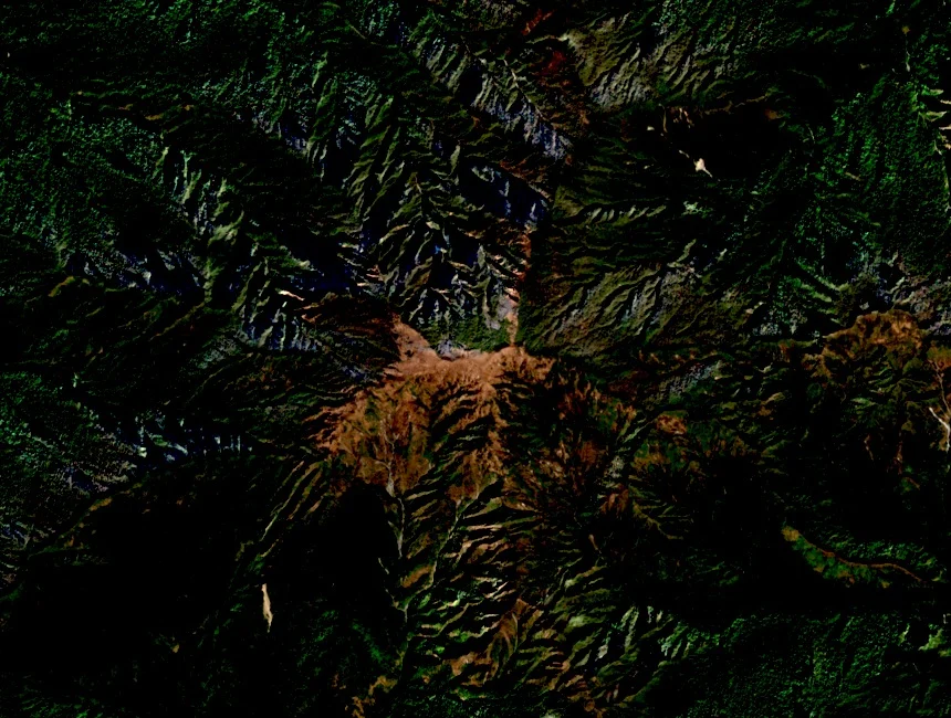
Summit Elevation and Documentation
The Kiphire district authority records Saramati as the defining geographical feature of the frontier zone, and the PCGN maps the summit on the Nagaland–Sagaing boundary. The elevation of 3,826 metres appears in Kiphire district documentation and corresponds to the PCGN-mapped point; the mountain is also recorded in Japanese geographical references as サラマティ山.
Forests and Winter Snow
The Kiphire district profile describes upper elevations with forest cover and seasonal winter snow. This vertical range spans warm subtropical lowlands to a seasonal snowline near the summit, compressing distinct vegetation zones into a short horizontal distance across the massif's forested ridgelines rising toward the border crest.
Thanamir and the Foothills
On the Indian side, the village of Thanamir lies in the foothills extending from the Saramati massif. Nagaland district planning authority reporting on Kiphire documents apple cultivation as part of the agricultural character of the Thanamir area, treating this cultivation as a feature of the regional landscape at the mountain's lower elevations.