
Two Cones Within an Older Caldera
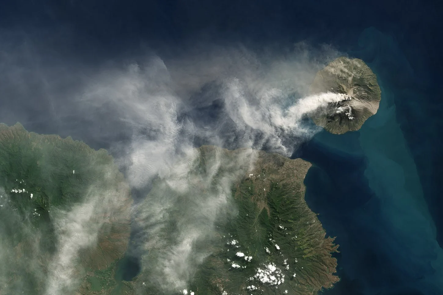
Doro Api forms the dominant central summit mass, while Doro Mantoi sits as a secondary cone within the same collapsed basin. Both grew inside the remnant of an ancestral caldera, now substantially filled by younger eruptive products. Eruptions here have produced lava flows that cool into durable rock, rapid pyroclastic deposits, and airborne ash dispersing beyond the island.
Five Centuries of Recorded Eruptions
The written eruption record begins in 1512. The 1985–1988 eruptive sequence prompted evacuation of the island's inhabitants to Sumbawa. An astronaut photograph taken during that period documented broad lava flows extending west of the summit, providing a visual record of how extensively those eruptions resurfaced portions of the island.
Satellite Record of the 2014 Episode
A new eruptive episode began on May 30, 2014. By June 1, a Landsat 8 satellite image captured a prominent plume extending downwind from the summit, documenting the eruption's early phase and demonstrating how orbital remote sensing enables near-real-time observation of this remote island volcano.