
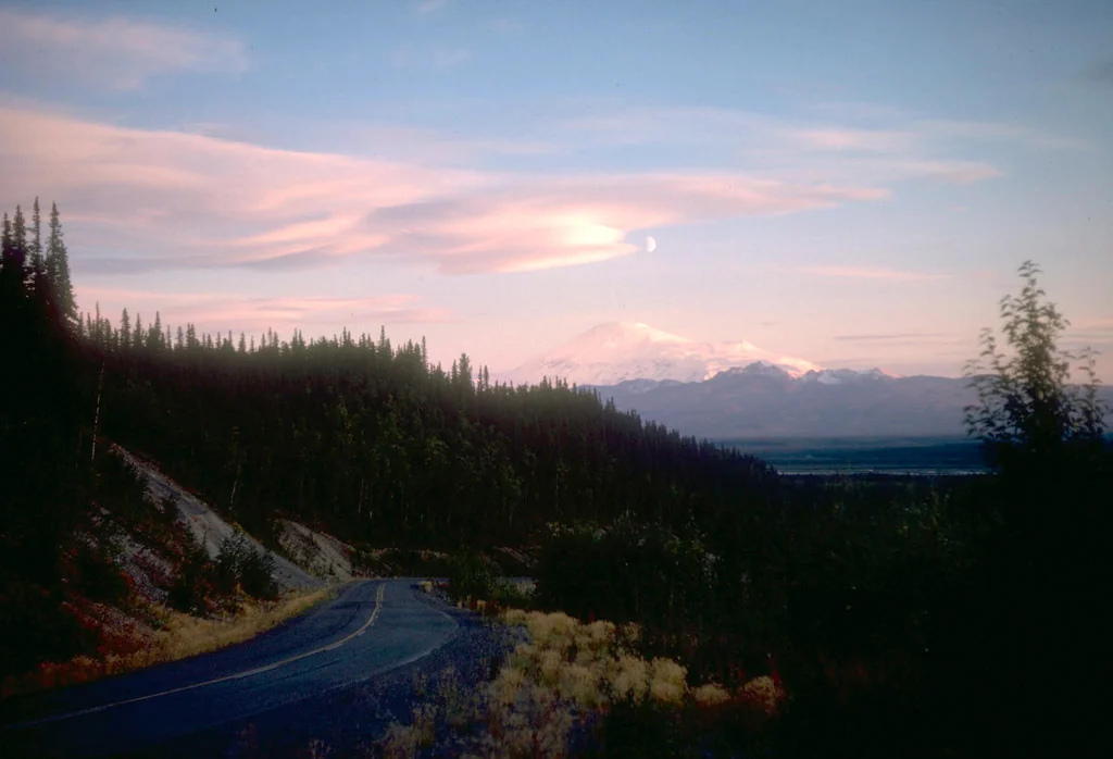
Anatomy of a Shield Volcano
Sanford is classified by the USGS as a deeply dissected andesitic shield volcano, meaning its eruptions built a broad, gently sloping edifice over a long period before erosion — primarily glacial — carved the flanks into the complex terrain visible today. The USGS photographic album of Wrangell Mountains and Cook Inlet volcanoes includes an archival image that places Capital Mountain, identified as a separate volcano, in the foreground, illustrating how the landscape around Sanford is populated by distinct volcanic features rather than a single massif in isolation.
The heavy dissection of Sanford's flanks means that glaciers have cut deeply into the original shield structure, creating ridges, couloirs, and valley systems that bear little resemblance to the smooth profile of a younger or less eroded volcano. This erosional character places Sanford in a different visual and structural category from many of the world's better-known volcanoes, its volcanic identity legible primarily through the composition of its rock rather than the symmetry of its form.
The Ahtna Name and Allen's Survey
The Ahtna name for this mountain is Hw niindi K'ett'aeni, as recorded by the National Park Service, and it reflects the long presence of Ahtna-speaking people in the Copper River watershed at whose head Sanford rises. Lieutenant Henry T. Allen, on the same 1885 expedition that produced the name Blackburn, named this peak for the Sanford family. GNIS attributes the naming to Allen directly, though the specific individual or family honored is not detailed in the available gazetteer record.
Allen's 1885 traverse remains a foundational event in the documented geographic history of interior Alaska. The names he assigned during that journey — Blackburn, Sanford, and others in the Wrangell range — entered the official record and have persisted through subsequent survey revisions. The survival of Ahtna names alongside Allen's designations in current National Park Service documentation reflects an ongoing effort to maintain the dual naming heritage of this landscape.
The 1938 First Ascent
On July 21, 1938, Terris Moore and Bradford Washburn reached the summit of Mount Sanford, completing the first recorded ascent of the peak. The 1938 date is documented in the GNIS record.
The approach to Sanford from the Copper River basin involves crossing terrain shaped entirely by the volcano's glacial dissection — a landscape of braided outwash, moraines, and ice that has changed significantly in character since the 1930s as regional glaciers have retreated. The mountain rises within Wrangell–St. Elias National Park and Preserve, the same vast protected area that encompasses Blackburn and most of the other high summits in the Wrangell field.