
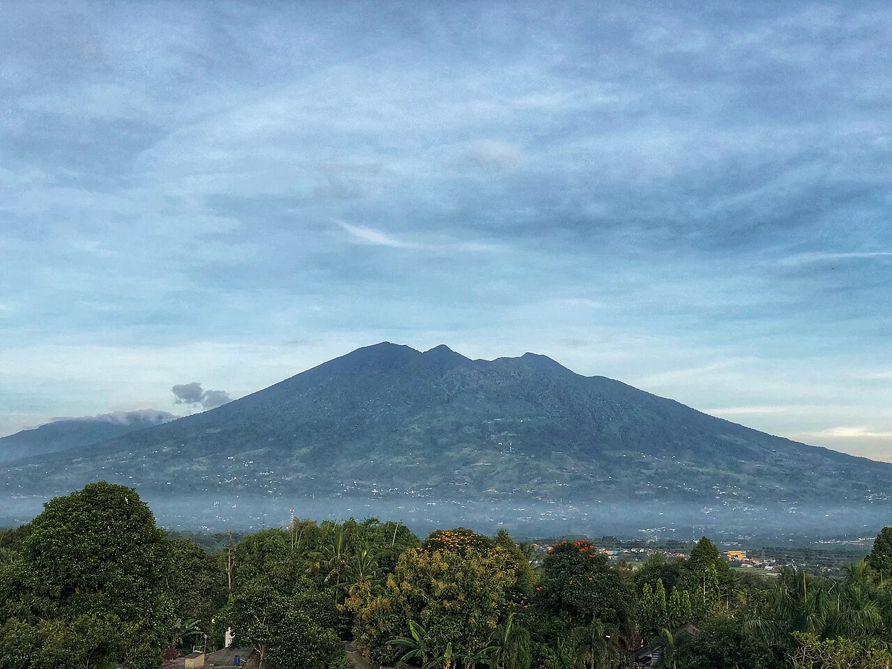
Breached Craters and Collapse Deposits
Two breached craters truncate the summit of Salak I, their horseshoe-shaped walls the result of collapse events that sent debris across the western flank. The Smithsonian Global Volcanism Program records the mountain at 2,218 metres, a value from independent survey of the same collapsed summit structure documented in the Indonesian catalog at 2,211 metres.
Western Vents and the 1938 Eruption
Kawah Ratu and the other active vents on the western flank lie below the main summit elevation, structurally separate from the breached craters above. The lower Cikuwulung Putri area was the focus of historical phreatic steam eruptions; the Smithsonian database records 1938 as the last confirmed historical eruption in the documented sequence.
Watershed and Forest Protection
Salak forms the eastern anchor of Mount Halimun Salak National Park, administered by the Indonesian Ministry of Forestry. The park's river catchments supply water to communities across Bogor and Sukabumi; the Ministry of Forestry identifies this watershed function as a primary rationale for the protected-area designation covering the mountain's evergreen montane forest.