
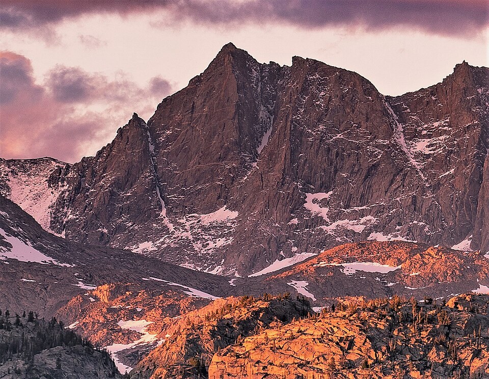
Position and Terrain
The peak occupies a prominent section of the Wind River crest, where USGS photography groups it with Fremont Peak and Mount Helen as three closely spaced high points. Sacagawea Glacier and Upper Fremont Glacier lie east of the crest as separate features, not a single continuous ice field.
The Name and Its Subject
The mountain's name, spelled here in its GNIS-established form, commemorates the Shoshone woman whose geographic knowledge and language skills contributed to the 1805 Lewis and Clark expedition. The National Park Service notes that Mandan, Hidatsa, and Arikara communities preserve accounts of her life that differ in certain respects from expedition records; no single version of those accounts is treated here as definitive.
Climbing History
In July 1955, Thea Welsh, Tony Prauses, and Damon Phinney ascended a couloir to reach the ridge connecting Fremont Peak and Sacagawea, as recorded in the American Alpine Journal. A separate later account documents Patrick Callis and Fred Beckey on the west face of the south summit—a distinct objective from the main summit and unrelated to the 1955 party's line.