
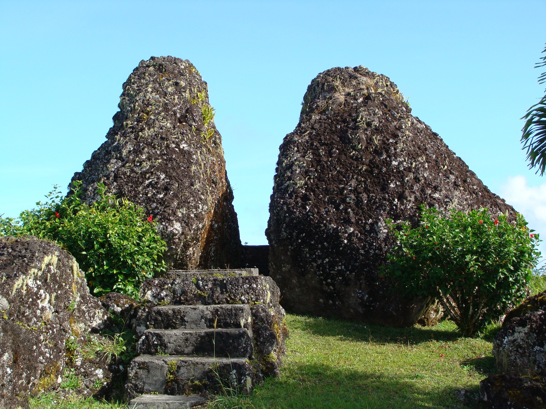
Volcanic rock above the limestone cliffs
Limestone covers most of Rota’s older volcanic foundation. Around the Sabana summit, volcanic breccia lies exposed. The 2025 field team interpreted it as the remnant of an eroded cinder cone. Rare limestone cloud forest grows along the upper cliffs, where persistent cloud keeps the forest moist. The Sabana Protected Area was established in 1994 to conserve forest, wildlife and water sources.
Phosphate and a memorial
In 1937, Nanyō Kōhatsu Kabushiki Kaisha began extracting phosphate by hand in an open pit on the plateau. An aerial tramway carried the material down the cliff to a plant on Sasanhaya Bay. Mining stopped after U.S. aircraft began bombing Rota in February 1944. The 1973 Sabana Peace Memorial beside the As Manila outcrop commemorates Japanese people who died on Rota during the war. Stone steps are visible in the 2010 photograph of the memorial park.
Where the spring emerges
Matan Hanum, Rota’s main source of drinking water, emerges downhill in Talakhaya where porous limestone meets less permeable volcanic rock. In 2025, researchers investigated whether rain entering the Summit Cave sinkhole reaches that spring. They proposed tracing the water with dye to test the connection.