
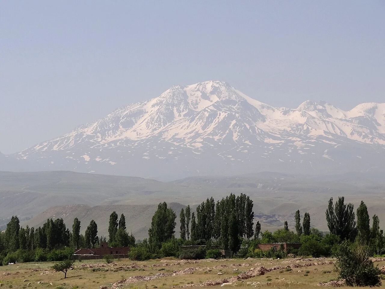
Two Constructional Phases
Research by Ghalamghash and colleagues identified an older Paleo-Sabalan sequence, including evidence of past collapses, and a younger Neo-Sabalan phase producing the dacitic domes visible today. Zircon rim ages in that study reached approximately 110,000 years, an upper bound on subsequent eruptions rather than a precise eruption date. Older stages span the Pliocene, with younger activity extending into the Pleistocene.
Glaciers and Summit Terrain
The Smithsonian has reported seven glaciers on the Sabalan massif alongside rock glaciers, giving the upper elevations a layered periglacial character. Iran submitted the massif to the UNESCO World Heritage Tentative List in 2007.
Mouil Graben Geothermal System
A field study measuring chemical and isotopic properties of thermal waters in the Mouil Graben found that fault intersections act as conduits for hydrothermal circulation, an interpretation grounded in measured fluid chemistry. These geothermal springs occupy the lower terrain and represent a distinct expression of subsurface heat separate from the summit crater lake and the stratigraphic volcanic record.