
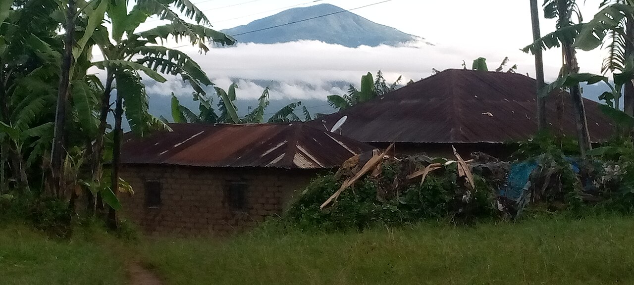
Volcanic Architecture and Caldera Landscape
Rungwe is a composite volcano whose summit region is defined by a caldera roughly four kilometres wide, open toward the west-southwest. Within that caldera, young cones, domes, and craters mark successive phases of volcanic activity. The mountain's most dramatic episode involved the catastrophic collapse of its summit and western flank, producing a debris avalanche whose hummocky terrain extends at least twenty kilometres to the southwest — a legible record of past structural failure still visible in the landscape.
Forest Reserve and Highland Ecology
The Mount Rungwe Nature Forest Reserve, administered by the Tanzania Forest Services Agency, covers the mountain's forested slopes within Mbeya Region. The reserve protects a layered vegetation sequence that includes montane forest and a bamboo belt at higher elevations. The Kiwira and Kibisi rivers originate on the mountain's slopes and flow into the surrounding lowlands.
Rungwecebus kipunji — A Genus Named for the Mountain
In 2005, field researchers published the description of a new species of African monkey observed in the Southern Highlands. A 2006 study in the journal Science used morphological analysis and molecular phylogenetics to establish that this animal belonged to a new genus, named Rungwecebus in direct reference to Mount Rungwe. The species, Rungwecebus kipunji, known colloquially as the kipunji, is thus permanently embedded in the scientific identity of the mountain.